Area Overview for N7 6RU
Photos of N7 6RU
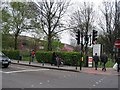
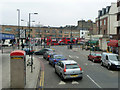
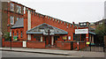
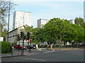
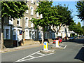
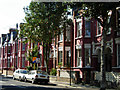
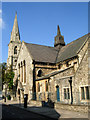
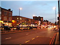
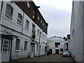
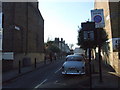
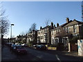
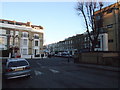
100 photos from this area
Area Information
Key information about the N7 6RU including its size, population, and administrative classification.
- Area Type
- Postcode
- Area Size
- 8131 m²
- Population
- 1440
- Population Density
- 16232 people/km²
House Prices in N7 6RU
55
Properties
£643,777
Average Sold Price
£120,000
Lowest Price
£1,224,220
Highest Price
Showing 55 properties
| Address | Type | Beds | Baths | Last Sale Price | Last Sale Date | |
|---|---|---|---|---|---|---|
| 65 Sussex Way, London, N7 6RU | Terraced | 4 | 2 | £975,000 | Jun 2025 | |
| 99 Sussex Way, London, N7 6RU | Terraced | 3 | 1 | £1,092,500 | Mar 2025 | |
| 87 Sussex Way, London, N7 6RU | Terraced | 4 | 2 | £1,090,000 | Oct 2024 | |
| 119 Sussex Way, London, N7 6RU | Terraced | 4 | 2 | £925,000 | Mar 2023 | |
| 121 Sussex Way, London, N7 6RU | house | 4 | 1 | £965,000 | Apr 2019 | |
| 81 Sussex Way, London, N7 6RU | Terraced | 4 | 2 | £1,224,220 | Aug 2017 | |
| 63 Sussex Way, London, N7 6RU | Terraced | 4 | 3 | £550,000 | Nov 2016 | |
| 69 Sussex Way, London, N7 6RU | Terraced | 3 | 2 | £1,000,000 | Jan 2015 | |
| 113 Sussex Way, London, N7 6RU | Terraced | 4 | 2 | £740,000 | Oct 2013 | |
| 117 Sussex Way, London, N7 6RU | house | 1 | 2 | £495,000 | Aug 2007 |
Page 1 of 6
Energy Efficiency in N7 6RU
Amenities
Schools
| Rank | School | Type | Entry gender | Ages |
|---|
Explore more schools in this area
Go to Schools tabDemographics
Household Size
Two person
most common
Accommodation Type
Flats
most common
Tenure
45
majority
Ethnic Group
White
most common
Religion
N/A
most common
Household Composition
N/A
most common
Age
47
median
Adults (30-64 years)
most common
Household Deprivation
N/A
with no deprivation
NS-SEC
55
in Lower managerial occupations
Explore more demographic insights in this area
Go to Demographics tabPlanning
Planning Constraints
- Flood RiskPremium
- Ramsar Wetland SitesPremium
- Area of Outstanding Natural BeautyPremium
- Protected Nature ReservePremium
- Protected WoodlandPremium