Area Overview for N7 0SU
Photos of N7 0SU
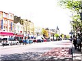
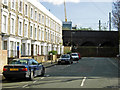
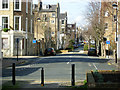
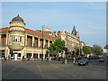
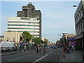
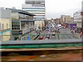
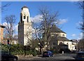
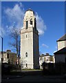
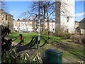
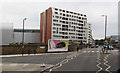
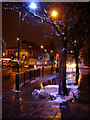
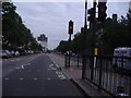
100 photos from this area
Area Information
Key information about the N7 0SU including its size, population, and administrative classification.
- Area Type
- Postcode
- Area Size
- 9968 m²
- Population
- 1302
- Population Density
- 13192 people/km²
House Prices in N7 0SU
64
Properties
£254,356
Average Sold Price
£69,500
Lowest Price
£715,499
Highest Price
Showing 64 properties
| Address | Type | Beds | Baths | Last Sale Price | Last Sale Date | |
|---|---|---|---|---|---|---|
| 4 Whitby Court, London, N7 0SU | Flat | - | - | £298,000 | May 2022 | |
| 58 Whitby Court, London, N7 0SU | house | 3 | 1 | £715,499 | Dec 2021 | |
| 40 Whitby Court, London, N7 0SU | Flat | - | - | £205,000 | Nov 2013 | |
| 44 Whitby Court, London, N7 0SU | Flat | - | - | £240,000 | Nov 2011 | |
| 21 Whitby Court, London, N7 0SU | Flat | 1 | 1 | £212,000 | Nov 2011 | |
| 46 Whitby Court, London, N7 0SU | Flat | - | - | £249,950 | Jul 2011 | |
| 61 Whitby Court, London, N7 0SU | house | - | - | £347,500 | Nov 2009 | |
| 29 Whitby Court, London, N7 0SU | Maisonette | 5 | 1 | £285,000 | Oct 2008 | |
| 34 Whitby Court, London, N7 0SU | Flat | 1 | 1 | £186,000 | Jun 2008 | |
| 60 Whitby Court, London, N7 0SU | house | - | - | £355,000 | Sep 2007 |
Page 1 of 7
Energy Efficiency in N7 0SU
Amenities
Schools
| Rank | School | Type | Entry gender | Ages |
|---|
Explore more schools in this area
Go to Schools tabDemographics
Household Size
One person
most common
Accommodation Type
Flats
most common
Tenure
24
majority
Ethnic Group
White
most common
Religion
N/A
most common
Household Composition
N/A
most common
Age
47
median
Adults (30-64 years)
most common
Household Deprivation
N/A
with no deprivation
NS-SEC
35
in Lower managerial occupations
Explore more demographic insights in this area
Go to Demographics tabPlanning
Planning Constraints
- Flood RiskPremium
- Ramsar Wetland SitesPremium
- Area of Outstanding Natural BeautyPremium
- Protected Nature ReservePremium
- Protected WoodlandPremium