Area Overview for N7 0DB
Photos of N7 0DB
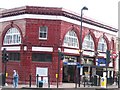
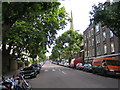
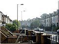
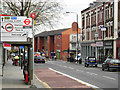
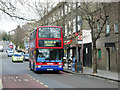
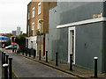
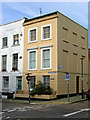
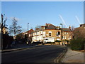
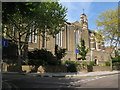
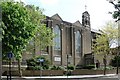
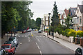
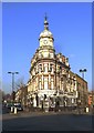
100 photos from this area
Area Information
Key information about the N7 0DB including its size, population, and administrative classification.
- Area Type
- Postcode
- Area Size
- 5782 m²
- Population
- 1701
- Population Density
- 17287 people/km²
House Prices in N7 0DB
42
Properties
£301,111
Average Sold Price
£170,000
Lowest Price
£380,000
Highest Price
Showing 42 properties
| Address | Type | Beds | Baths | Last Sale Price | Last Sale Date | |
|---|---|---|---|---|---|---|
| 70 Brecknock Road, London, N7 0DB | Flat | - | - | £380,000 | Apr 2024 | |
| 94 Brecknock Road, London, N7 0DB | Flat | - | - | £315,000 | Jan 2020 | |
| 86 Brecknock Road, London, N7 0DB | Flat | - | - | £330,000 | Jan 2019 | |
| 110 Brecknock Road, London, N7 0DB | Flat | - | - | £365,000 | Mar 2017 | |
| 82 Brecknock Road, London, N7 0DB | Flat | 1 | 1 | £305,000 | Jun 2015 | |
| 112 Brecknock Road, London, N7 0DB | Flat | - | - | £210,000 | Sep 2011 | |
| 92 Brecknock Road, London, N7 0DB | Maisonette | - | - | £325,000 | Jul 2010 | |
| 102 Brecknock Road, London, N7 0DB | Maisonette | - | - | £310,000 | Dec 2009 | |
| 140 Brecknock Road, London, N7 0DB | Flat | - | - | £170,000 | Aug 2001 | |
| 126 Brecknock Road, London, N7 0DB | Maisonette | 3 | 1 | - | - |
Page 1 of 5
Energy Efficiency in N7 0DB
Amenities
Schools
| Rank | School | Type | Entry gender | Ages |
|---|
Explore more schools in this area
Go to Schools tabDemographics
Household Size
One person
most common
Accommodation Type
Flats
most common
Tenure
22
majority
Ethnic Group
White
most common
Religion
N/A
most common
Household Composition
N/A
most common
Age
47
median
Adults (30-64 years)
most common
Household Deprivation
N/A
with no deprivation
NS-SEC
34
in Lower managerial occupations
Explore more demographic insights in this area
Go to Demographics tabPlanning
Planning Constraints
- Flood RiskPremium
- Ramsar Wetland SitesPremium
- Area of Outstanding Natural BeautyPremium
- Protected Nature ReservePremium
- Protected WoodlandPremium