Area Overview for N5 2PR
Photos of N5 2PR
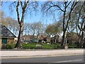
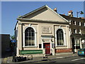


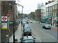
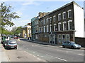
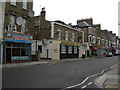
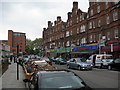
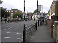

100 photos from this area
Area Information
Key information about the N5 2PR including its size, population, and administrative classification.
- Area Type
- Postcode
- Area Size
- 5475 m²
- Population
- 1873
- Population Density
- 7339 people/km²
House Prices in N5 2PR
26
Properties
£996,977
Average Sold Price
£285,000
Lowest Price
£2,375,000
Highest Price
Showing 26 properties
| Address | Type | Beds | Baths | Last Sale Price | Last Sale Date | |
|---|---|---|---|---|---|---|
| 51 Kelvin Road, London, N5 2PR | Terraced | 6 | 3 | £2,375,000 | Dec 2023 | |
| 37 Kelvin Road, London, N5 2PR | Terraced | 5 | 3 | £1,257,000 | May 2020 | |
| 59 Kelvin Road, London, N5 2PR | Terraced | 4 | 1 | £1,730,000 | Oct 2018 | |
| 33A Kelvin Road, London, N5 2PR | Flat | 1 | 1 | £515,000 | Mar 2016 | |
| 35 Kelvin Road, London, N5 2PR | Terraced | 5 | 3 | £1,225,000 | Jun 2015 | |
| 55 Kelvin Road, London, N5 2PR | Terraced | 5 | - | £1,502,222 | Dec 2014 | |
| 47 Kelvin Road, London, N5 2PR | house | - | - | £795,000 | Oct 2010 | |
| 63 Kelvin Road, London, N5 2PR | Detached | 5 | 3 | £812,500 | Sep 2008 | |
| 33 Kelvin Road, London, N5 2PR | Flat | - | - | £440,000 | Oct 2006 | |
| 45 Kelvin Road, London, N5 2PR | Terraced | - | - | £640,000 | Oct 2006 |
Page 1 of 3
Energy Efficiency in N5 2PR
Amenities
Schools
| Rank | School | Type | Entry gender | Ages |
|---|
Explore more schools in this area
Go to Schools tabDemographics
Household Size
One person
most common
Accommodation Type
Flats
most common
Tenure
40
majority
Ethnic Group
White
most common
Religion
N/A
most common
Household Composition
N/A
most common
Age
47
median
Adults (30-64 years)
most common
Household Deprivation
N/A
with no deprivation
NS-SEC
54
in Lower managerial occupations
Explore more demographic insights in this area
Go to Demographics tabPlanning
Planning Constraints
- Flood RiskPremium
- Ramsar Wetland SitesPremium
- Area of Outstanding Natural BeautyPremium
- Protected Nature ReservePremium
- Protected WoodlandPremium