Area Overview for N5 2LG
Photos of N5 2LG
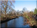
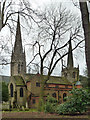
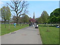
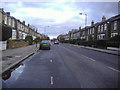

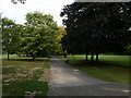
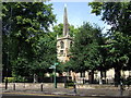
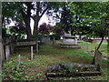
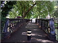
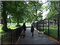
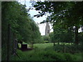
100 photos from this area
Area Information
Key information about the N5 2LG including its size, population, and administrative classification.
- Area Type
- Postcode
- Area Size
- 1.1 hectares
- Population
- 1469
- Population Density
- 4497 people/km²
House Prices in N5 2LG
20
Properties
£281,806
Average Sold Price
£87,500
Lowest Price
£497,500
Highest Price
Showing 20 properties
| Address | Type | Beds | Baths | Last Sale Price | Last Sale Date | |
|---|---|---|---|---|---|---|
| 296 Highbury New Park, London, N5 2LG | Flat | - | - | £322,500 | Jun 2024 | |
| 310 Highbury New Park, London, N5 2LG | Flat | 2 | 1 | £475,000 | Sep 2018 | |
| 308 Highbury New Park, London, N5 2LG | Flat | 3 | 1 | £497,500 | Aug 2016 | |
| 280 Highbury New Park, London, N5 2LG | Flat | - | - | £233,000 | Jul 2013 | |
| 294 Highbury New Park, London, N5 2LG | Flat | - | - | £250,000 | Sep 2012 | |
| 314 Highbury New Park, London, N5 2LG | Flat | - | - | £249,000 | Jan 2011 | |
| 292 Highbury New Park, London, N5 2LG | Flat | - | - | £139,950 | Mar 2001 | |
| 316 Highbury New Park, London, N5 2LG | Flat | - | - | £87,500 | Dec 1999 | |
| 306 Highbury New Park, London, N5 2LG | Flat | 1 | 1 | - | - | |
| 284 Highbury New Park, London, N5 2LG | Flat | - | - | - | - |
Page 1 of 2
Energy Efficiency in N5 2LG
Amenities
Schools
| Rank | School | Type | Entry gender | Ages |
|---|
Explore more schools in this area
Go to Schools tabDemographics
Household Size
One person
most common
Accommodation Type
Flats
most common
Tenure
36
majority
Ethnic Group
White
most common
Religion
N/A
most common
Household Composition
N/A
most common
Age
47
median
Adults (30-64 years)
most common
Household Deprivation
N/A
with no deprivation
NS-SEC
47
in Lower managerial occupations
Explore more demographic insights in this area
Go to Demographics tabPlanning
Planning Constraints
- Flood RiskPremium
- Ramsar Wetland SitesPremium
- Area of Outstanding Natural BeautyPremium
- Protected Nature ReservePremium
- Protected WoodlandPremium