Area Overview for N4 3BZ
Photos of N4 3BZ
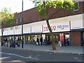
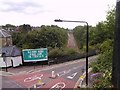
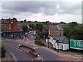
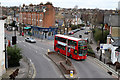
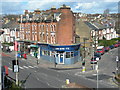
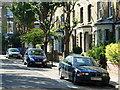
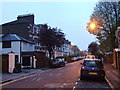
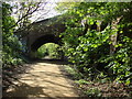
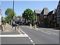
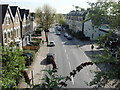
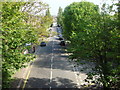
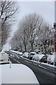
100 photos from this area
Area Information
Key information about the N4 3BZ including its size, population, and administrative classification.
- Area Type
- Postcode
- Area Size
- 7728 m²
- Population
- 1646
- Population Density
- 14736 people/km²
House Prices in N4 3BZ
47
Properties
£709,847
Average Sold Price
£109,000
Lowest Price
£1,220,000
Highest Price
Showing 47 properties
| Address | Type | Beds | Baths | Last Sale Price | Last Sale Date | |
|---|---|---|---|---|---|---|
| 92 Corbyn Street, London, N4 3BZ | Terraced | 4 | 2 | £1,220,000 | Dec 2022 | |
| 14 Corbyn Street, London, N4 3BZ | house | - | - | £840,000 | Apr 2021 | |
| 76 Corbyn Street, London, N4 3BZ | house | - | - | £990,000 | Feb 2021 | |
| 70 Corbyn Street, London, N4 3BZ | house | - | - | £980,000 | Jan 2021 | |
| 82 Corbyn Street, London, N4 3BZ | house | - | - | £935,000 | Dec 2020 | |
| 84 Corbyn Street, London, N4 3BZ | Detached | 3 | 1 | £920,000 | Sep 2020 | |
| 22 Corbyn Street, London, N4 3BZ | house | 3 | - | £950,000 | Oct 2019 | |
| 6 Corbyn Street, London, N4 3BZ | Terraced | 3 | 1 | £950,000 | Jan 2018 | |
| 34 Corbyn Street, London, N4 3BZ | Terraced | 3 | - | £967,500 | Nov 2017 | |
| 30 Corbyn Street, London, N4 3BZ | Terraced | 3 | - | £845,000 | Nov 2017 |
Page 1 of 5
Energy Efficiency in N4 3BZ
Amenities
Schools
| Rank | School | Type | Entry gender | Ages |
|---|
Explore more schools in this area
Go to Schools tabDemographics
Household Size
Family (3-5 people)
most common
Accommodation Type
Flats
most common
Tenure
43
majority
Ethnic Group
White
most common
Religion
N/A
most common
Household Composition
N/A
most common
Age
47
median
Adults (30-64 years)
most common
Household Deprivation
N/A
with no deprivation
NS-SEC
55
in Lower managerial occupations
Explore more demographic insights in this area
Go to Demographics tabPlanning
Planning Constraints
- Flood RiskPremium
- Ramsar Wetland SitesPremium
- Area of Outstanding Natural BeautyPremium
- Protected Nature ReservePremium
- Protected WoodlandPremium