Area Overview for N4 1EN
Photos of N4 1EN


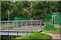

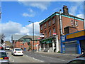
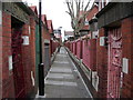


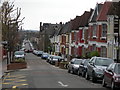
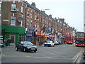
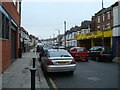
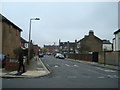
100 photos from this area
Area Information
Key information about the N4 1EN including its size, population, and administrative classification.
- Area Type
- Postcode
- Area Size
- 9264 m²
- Population
- 1691
- Population Density
- 2596 people/km²
House Prices in N4 1EN
51
Properties
£515,863
Average Sold Price
£100,000
Lowest Price
£1,142,000
Highest Price
Showing 51 properties
| Address | Type | Beds | Baths | Last Sale Price | Last Sale Date | |
|---|---|---|---|---|---|---|
| 73 Lothair Road South, Hornsey, London, N4 1EN | Terraced | 4 | 3 | £1,070,000 | May 2024 | |
| 57 Lothair Road South, Hornsey, London, N4 1EN | Terraced | 4 | 1 | £1,142,000 | Feb 2023 | |
| 53 Lothair Road South, Hornsey, London, N4 1EN | Terraced | 3 | 1 | £800,000 | Mar 2020 | |
| 69 Lothair Road South, Hornsey, London, N4 1EN | Terraced | 4 | 2 | £1,000,000 | Nov 2018 | |
| 27 Lothair Road South, Hornsey, London, N4 1EN | house | 4 | - | £947,000 | Sep 2015 | |
| 61 Lothair Road South, Hornsey, London, N4 1EN | house | - | - | £635,000 | Nov 2010 | |
| 15 Lothair Road South, Hornsey, London, N4 1EN | Semi-detached | 5 | 2 | £455,000 | Jun 2005 | |
| 25 Lothair Road South, Hornsey, London, N4 1EN | Terraced | - | - | £280,000 | May 2005 | |
| 55 Lothair Road South, Hornsey, London, N4 1EN | house | - | - | £279,950 | Jul 2002 | |
| 31 Lothair Road South, Hornsey, London, N4 1EN | Terraced | - | - | £290,000 | Oct 2001 |
Page 1 of 6
Energy Efficiency in N4 1EN
Amenities
Schools
| Rank | School | Type | Entry gender | Ages |
|---|
Explore more schools in this area
Go to Schools tabDemographics
Household Size
One person
most common
Accommodation Type
Flats
most common
Tenure
33
majority
Ethnic Group
White
most common
Religion
N/A
most common
Household Composition
N/A
most common
Age
47
median
Adults (30-64 years)
most common
Household Deprivation
N/A
with no deprivation
NS-SEC
42
in Lower managerial occupations
Explore more demographic insights in this area
Go to Demographics tabPlanning
Planning Constraints
- Flood RiskPremium
- Ramsar Wetland SitesPremium
- Area of Outstanding Natural BeautyPremium
- Protected Nature ReservePremium
- Protected WoodlandPremium