Area Overview for N3 1RG
Photos of N3 1RG
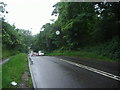


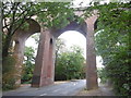
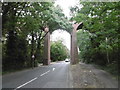
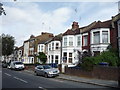
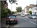
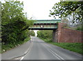
100 photos from this area
Area Information
Key information about the N3 1RG including its size, population, and administrative classification.
- Area Type
- Postcode
- Area Size
- 2.0 hectares
- Population
- 1785
- Population Density
- 7979 people/km²
House Prices in N3 1RG
82
Properties
£387,495
Average Sold Price
£85,000
Lowest Price
£635,000
Highest Price
Showing 82 properties
| Address | Type | Beds | Baths | Last Sale Price | Last Sale Date | |
|---|---|---|---|---|---|---|
| 4A Dollis Road, Church End, London, N3 1RG | Terraced | 1 | 1 | £335,000 | Jun 2020 | |
| 62 Dollis Road, Church End, London, N3 1RG | Flat | - | - | £599,950 | Dec 2017 | |
| 4 Dollis Road, Church End, London, N3 1RG | Terraced | 3 | 1 | £600,000 | Jan 2013 | |
| 26 Dollis Road, Church End, London, N3 1RG | house | 5 | - | £635,000 | Jul 2012 | |
| 10 Dollis Road, Church End, London, N3 1RG | house | - | - | £467,000 | Feb 2010 | |
| 36A Dollis Road, Church End, London, N3 1RG | Flat | 5 | 3 | £250,000 | Oct 2006 | |
| 60 Dollis Road, Church End, London, N3 1RG | Terraced | - | - | £405,000 | Sep 2004 | |
| 52 Dollis Road, Church End, London, N3 1RG | Flat | 2 | 2 | £395,000 | Aug 2004 | |
| 38 Dollis Road, Church End, London, N3 1RG | Flat | - | - | £103,000 | Feb 1999 | |
| 50 Dollis Road, Church End, London, N3 1RG | Flat | - | - | £85,000 | Nov 1997 |
Page 1 of 9
Energy Efficiency in N3 1RG
Amenities
Schools
| Rank | School | Type | Entry gender | Ages |
|---|
Explore more schools in this area
Go to Schools tabDemographics
Household Size
Family (3-5 people)
most common
Accommodation Type
Flats
most common
Tenure
39
majority
Ethnic Group
White
most common
Religion
N/A
most common
Household Composition
N/A
most common
Age
47
median
Adults (30-64 years)
most common
Household Deprivation
N/A
with no deprivation
NS-SEC
47
in Lower managerial occupations
Explore more demographic insights in this area
Go to Demographics tabPlanning
Planning Constraints
- Flood RiskPremium
- Ramsar Wetland SitesPremium
- Area of Outstanding Natural BeautyPremium
- Protected Nature ReservePremium
- Protected WoodlandPremium