Area Overview for N3 1EP
Photos of N3 1EP
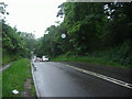


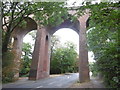
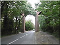
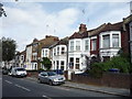
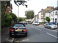
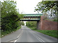
100 photos from this area
Area Information
Key information about the N3 1EP including its size, population, and administrative classification.
- Area Type
- Postcode
- Area Size
- 3845 m²
- Population
- 1557
- Population Density
- 8767 people/km²
House Prices in N3 1EP
19
Properties
£322,621
Average Sold Price
£75,000
Lowest Price
£872,500
Highest Price
Showing 19 properties
| Address | Type | Beds | Baths | Last Sale Price | Last Sale Date | |
|---|---|---|---|---|---|---|
| 60 Gordon Road, Finchley, London, N3 1EP | Flat | 3 | 2 | £547,366 | Oct 2024 | |
| 76 Gordon Road, Finchley, London, N3 1EP | Maisonette | 2 | 1 | £425,000 | Apr 2024 | |
| 58 Gordon Road, Finchley, London, N3 1EP | Semi-detached | 4 | 3 | £450,000 | Apr 2023 | |
| 84 Gordon Road, Finchley, London, N3 1EP | Flat | 2 | 1 | £397,500 | Mar 2021 | |
| 86 Gordon Road, Finchley, London, N3 1EP | Semi-detached | 4 | 2 | £855,000 | Oct 2020 | |
| 88 Gordon Road, Finchley, London, N3 1EP | Semi-detached | 4 | - | £872,500 | Aug 2018 | |
| 62 Gordon Road, Finchley, London, N3 1EP | Maisonette | 2 | 1 | £155,000 | Dec 2017 | |
| 82 Gordon Road, Finchley, London, N3 1EP | Flat | - | - | £235,000 | Sep 2004 | |
| 72 Gordon Road, Finchley, London, N3 1EP | Flat | - | - | £225,000 | Oct 2003 | |
| 74 Gordon Road, Finchley, London, N3 1EP | Flat | - | - | £146,000 | Nov 2002 |
Page 1 of 2
Energy Efficiency in N3 1EP
Amenities
Schools
| Rank | School | Type | Entry gender | Ages |
|---|
Explore more schools in this area
Go to Schools tabDemographics
Household Size
Family (3-5 people)
most common
Accommodation Type
Flats
most common
Tenure
53
majority
Ethnic Group
White
most common
Religion
N/A
most common
Household Composition
N/A
most common
Age
47
median
Adults (30-64 years)
most common
Household Deprivation
N/A
with no deprivation
NS-SEC
46
in Lower managerial occupations
Explore more demographic insights in this area
Go to Demographics tabPlanning
Planning Constraints
- Flood RiskPremium
- Ramsar Wetland SitesPremium
- Area of Outstanding Natural BeautyPremium
- Protected Nature ReservePremium
- Protected WoodlandPremium