Area Overview for N22 7EY
Photos of N22 7EY
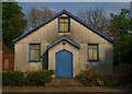
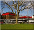
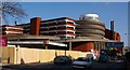
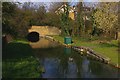
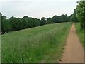
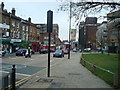
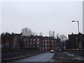
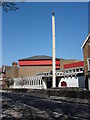
100 photos from this area
Area Information
Key information about the N22 7EY including its size, population, and administrative classification.
- Area Type
- Postcode
- Area Size
- 5447 m²
- Population
- 1530
- Population Density
- 7810 people/km²
House Prices in N22 7EY
20
Properties
£663,999
Average Sold Price
£320,000
Lowest Price
£1,210,000
Highest Price
Showing 20 properties
| Address | Type | Beds | Baths | Last Sale Price | Last Sale Date | |
|---|---|---|---|---|---|---|
| 53 Park Avenue, Wood Green, London, N22 7EY | Terraced | 4 | 2 | £1,210,000 | Oct 2024 | |
| 65 Park Avenue, Wood Green, London, N22 7EY | Terraced | 3 | 2 | £760,000 | Nov 2014 | |
| 69 Park Avenue, Wood Green, London, N22 7EY | Semi-detached | 5 | - | £1,040,000 | Apr 2014 | |
| 51 Park Avenue, Wood Green, London, N22 7EY | Detached | 5 | 2 | £680,000 | May 2012 | |
| 57 Park Avenue, Wood Green, London, N22 7EY | Terraced | - | - | £580,000 | May 2007 | |
| 49D Park Avenue, Wood Green, London, N22 7EY | Flat | 5 | - | £320,000 | Apr 2007 | |
| 45 Park Avenue, Wood Green, London, N22 7EY | Terraced | 3 | 2 | £585,000 | May 2006 | |
| 61 Park Avenue, Wood Green, London, N22 7EY | Terraced | - | - | £371,000 | Jul 2003 | |
| 67 Park Avenue, Wood Green, London, N22 7EY | Terraced | - | - | £429,995 | Nov 2002 | |
| Flat B, 47 Park Avenue, Wood Green, London, N22 7EY | Flat | 2 | - | - | - |
Page 1 of 2
Energy Efficiency in N22 7EY
Amenities
Schools
| Rank | School | Type | Entry gender | Ages |
|---|
Explore more schools in this area
Go to Schools tabDemographics
Household Size
Family (3-5 people)
most common
Accommodation Type
Flats
most common
Tenure
48
majority
Ethnic Group
White
most common
Religion
N/A
most common
Household Composition
N/A
most common
Age
47
median
Adults (30-64 years)
most common
Household Deprivation
N/A
with no deprivation
NS-SEC
45
in Lower managerial occupations
Explore more demographic insights in this area
Go to Demographics tabPlanning
Planning Constraints
- Flood RiskPremium
- Ramsar Wetland SitesPremium
- Area of Outstanding Natural BeautyPremium
- Protected Nature ReservePremium
- Protected WoodlandPremium