Area Overview for N22 6PH
Photos of N22 6PH
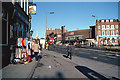
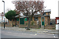
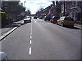
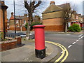
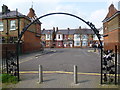
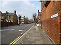
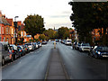
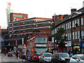
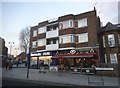
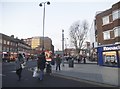
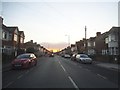
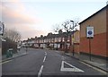
100 photos from this area
Area Information
Key information about the N22 6PH including its size, population, and administrative classification.
- Area Type
- Postcode
- Area Size
- 1894 m²
- Population
- 1844
- Population Density
- 17512 people/km²
House Prices in N22 6PH
10
Properties
£413,214
Average Sold Price
£62,500
Lowest Price
£585,000
Highest Price
Showing 10 properties
| Address | Type | Beds | Baths | Last Sale Price | Last Sale Date | |
|---|---|---|---|---|---|---|
| 45 Darwin Road, Wood Green, London, N22 6PH | Terraced | 3 | 1 | £585,000 | Feb 2024 | |
| 47 Darwin Road, Wood Green, London, N22 6PH | Terraced | 2 | 1 | £550,000 | Dec 2022 | |
| 41 Darwin Road, Wood Green, London, N22 6PH | house | - | - | £525,000 | Jan 2022 | |
| 44 Darwin Road, Wood Green, London, N22 6PH | Terraced | 2 | 2 | £515,000 | Jun 2020 | |
| 43 Darwin Road, Wood Green, London, N22 6PH | Terraced | 2 | 1 | £495,000 | Aug 2019 | |
| 42 Darwin Road, Wood Green, London, N22 6PH | Maisonette | 2 | 1 | £160,000 | Aug 2006 | |
| 39 Darwin Road, Wood Green, London, N22 6PH | Terraced | 2 | 1 | £62,500 | Apr 1995 | |
| 40 Darwin Road, Wood Green, London, N22 6PH | Flat | - | - | - | - | |
| 48 Darwin Road, Wood Green, London, N22 6PH | house | - | - | - | - | |
| 46 Darwin Road, Wood Green, London, N22 6PH | house | - | - | - | - |
Energy Efficiency in N22 6PH
Amenities
Schools
| Rank | School | Type | Entry gender | Ages |
|---|
Explore more schools in this area
Go to Schools tabDemographics
Household Size
Family (3-5 people)
most common
Accommodation Type
Flats
most common
Tenure
26
majority
Ethnic Group
White
most common
Religion
N/A
most common
Household Composition
N/A
most common
Age
47
median
Adults (30-64 years)
most common
Household Deprivation
N/A
with no deprivation
NS-SEC
24
in Lower managerial occupations
Explore more demographic insights in this area
Go to Demographics tabPlanning
Planning Constraints
- Flood RiskPremium
- Ramsar Wetland SitesPremium
- Area of Outstanding Natural BeautyPremium
- Protected Nature ReservePremium
- Protected WoodlandPremium