Area Overview for N21 3SA
Photos of N21 3SA
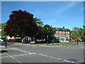
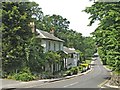
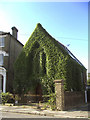
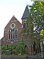
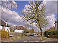

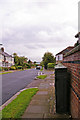
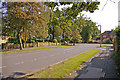
100 photos from this area
Area Information
Key information about the N21 3SA including its size, population, and administrative classification.
- Area Type
- Postcode
- Area Size
- 2872 m²
- Population
- 1770
- Population Density
- 6012 people/km²
House Prices in N21 3SA
25
Properties
£239,143
Average Sold Price
£80,000
Lowest Price
£310,000
Highest Price
Showing 25 properties
| Address | Type | Beds | Baths | Last Sale Price | Last Sale Date | |
|---|---|---|---|---|---|---|
| 755A Green Lanes, Southgate, N21 3SA | Flat | - | - | £287,500 | May 2024 | |
| 763A Green Lanes, Southgate, N21 3SA | Flat | 2 | 1 | £310,000 | Jan 2022 | |
| 753A Green Lanes, Southgate, N21 3SA | Flat | 1 | 1 | £300,000 | Apr 2021 | |
| 759A Green Lanes, Southgate, N21 3SA | Flat | 2 | 1 | £310,000 | Sep 2018 | |
| 751-751-B Green Lanes, Southgate, N21 3SA | Restaurant | - | - | £80,000 | Nov 2016 | |
| 757B Green Lanes, Southgate, N21 3SA | Flat | 1 | 1 | £272,500 | Feb 2015 | |
| 747A Green Lanes, Southgate, N21 3SA | Flat | - | - | £114,000 | May 1996 | |
| 753C Green Lanes, Southgate, N21 3SA | Flat | 1 | 1 | - | - | |
| 755-755-B Green Lanes, Southgate, N21 3SA | Flat | - | - | - | - | |
| 757-757-B Green Lanes, Southgate, N21 3SA | Flat | - | - | - | - |
Page 1 of 3
Energy Efficiency in N21 3SA
Amenities
Schools
| Rank | School | Type | Entry gender | Ages |
|---|
Explore more schools in this area
Go to Schools tabDemographics
Household Size
Family (3-5 people)
most common
Accommodation Type
Flats
most common
Tenure
53
majority
Ethnic Group
White
most common
Religion
N/A
most common
Household Composition
N/A
most common
Age
47
median
Adults (30-64 years)
most common
Household Deprivation
N/A
with no deprivation
NS-SEC
43
in Lower managerial occupations
Explore more demographic insights in this area
Go to Demographics tabPlanning
Planning Constraints
- Flood RiskPremium
- Ramsar Wetland SitesPremium
- Area of Outstanding Natural BeautyPremium
- Protected Nature ReservePremium
- Protected WoodlandPremium