Area Overview for N21 3DN
Photos of N21 3DN
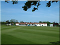
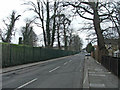
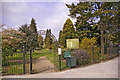
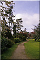
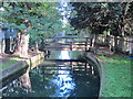
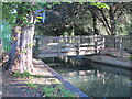
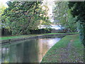
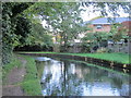
100 photos from this area
Area Information
Key information about the N21 3DN including its size, population, and administrative classification.
- Area Type
- Postcode
- Area Size
- 9689 m²
- Population
- 1899
- Population Density
- 4670 people/km²
House Prices in N21 3DN
30
Properties
£393,553
Average Sold Price
£128,000
Lowest Price
£745,000
Highest Price
Showing 30 properties
| Address | Type | Beds | Baths | Last Sale Price | Last Sale Date | |
|---|---|---|---|---|---|---|
| 18 Fords Grove, Southgate, N21 3DN | Semi-detached | 4 | - | £732,500 | Jul 2020 | |
| 42 Fords Grove, Southgate, N21 3DN | Flat | - | - | £345,000 | Jun 2020 | |
| 28 Fords Grove, Southgate, N21 3DN | house | - | - | £745,000 | Nov 2019 | |
| 32 Fords Grove, Southgate, N21 3DN | Semi-detached | 5 | - | £720,000 | May 2017 | |
| 46A Fords Grove, Southgate, N21 3DN | Flat | - | - | £285,000 | Sep 2013 | |
| 24 Fords Grove, Southgate, N21 3DN | house | - | - | £482,500 | Sep 2013 | |
| 40 Fords Grove, Southgate, N21 3DN | Semi-detached | 4 | 2 | £455,000 | Apr 2012 | |
| 16 Fords Grove, Southgate, N21 3DN | house | - | - | £461,000 | Sep 2010 | |
| 26 Fords Grove, Southgate, N21 3DN | house | - | - | £450,000 | Feb 2010 | |
| 36A Fords Grove, Southgate, N21 3DN | Flat | - | - | £250,000 | Apr 2007 |
Page 1 of 3
Energy Efficiency in N21 3DN
Amenities
Schools
| Rank | School | Type | Entry gender | Ages |
|---|
Explore more schools in this area
Go to Schools tabDemographics
Household Size
Family (3-5 people)
most common
Accommodation Type
Houses
most common
Tenure
63
majority
Ethnic Group
White
most common
Religion
N/A
most common
Household Composition
N/A
most common
Age
47
median
Adults (30-64 years)
most common
Household Deprivation
N/A
with no deprivation
NS-SEC
39
in Lower managerial occupations
Explore more demographic insights in this area
Go to Demographics tabPlanning
Planning Constraints
- Flood RiskPremium
- Ramsar Wetland SitesPremium
- Area of Outstanding Natural BeautyPremium
- Protected Nature ReservePremium
- Protected WoodlandPremium