Area Overview for N21 2RH
Photos of N21 2RH
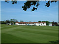
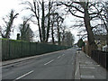
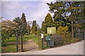
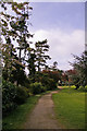
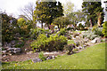
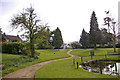
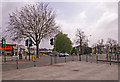
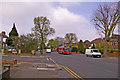
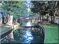
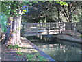
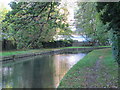
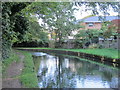
100 photos from this area
Area Information
Key information about the N21 2RH including its size, population, and administrative classification.
- Area Type
- Postcode
- Area Size
- 1.3 hectares
- Population
- 1562
- Population Density
- 6403 people/km²
House Prices in N21 2RH
43
Properties
£447,944
Average Sold Price
£136,500
Lowest Price
£730,000
Highest Price
Showing 43 properties
| Address | Type | Beds | Baths | Last Sale Price | Last Sale Date | |
|---|---|---|---|---|---|---|
| 59 Ridge Avenue, Southgate, N21 2RH | Retail | 3 | 2 | £730,000 | Mar 2022 | |
| 77 Ridge Avenue, Southgate, N21 2RH | Semi-detached | 3 | 1 | £675,000 | Nov 2017 | |
| 73 Ridge Avenue, Southgate, N21 2RH | Semi-detached | 3 | - | £380,000 | Aug 2012 | |
| 81 RIDGE AVENUE, Southgate, N21 2RH | Detached | - | - | £600,000 | Dec 2006 | |
| 83 RIDGE AVENUE, Southgate, N21 2RH | Detached | - | - | £475,000 | Dec 2006 | |
| 85 RIDGE AVENUE, Southgate, N21 2RH | Detached | - | - | £475,000 | Dec 2006 | |
| 69 Ridge Avenue, Southgate, N21 2RH | Terraced | - | - | £410,000 | Feb 2006 | |
| 63 Ridge Avenue, Southgate, N21 2RH | Terraced | - | - | £150,000 | Oct 1996 | |
| 67 Ridge Avenue, Southgate, N21 2RH | Semi-detached | 4 | 2 | £136,500 | Sep 1996 | |
| 75 Ridge Avenue, Southgate, N21 2RH | Semi-detached | - | - | - | - |
Page 1 of 5
Energy Efficiency in N21 2RH
Amenities
Schools
| Rank | School | Type | Entry gender | Ages |
|---|
Explore more schools in this area
Go to Schools tabDemographics
Household Size
Family (3-5 people)
most common
Accommodation Type
Houses
most common
Tenure
86
majority
Ethnic Group
White
most common
Religion
N/A
most common
Household Composition
N/A
most common
Age
47
median
Adults (30-64 years)
most common
Household Deprivation
N/A
with no deprivation
NS-SEC
35
in Lower managerial occupations
Explore more demographic insights in this area
Go to Demographics tabPlanning
Planning Constraints
- Flood RiskPremium
- Ramsar Wetland SitesPremium
- Area of Outstanding Natural BeautyPremium
- Protected Nature ReservePremium
- Protected WoodlandPremium