Area Overview for N21 2JN
Photos of N21 2JN
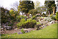
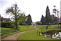
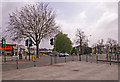
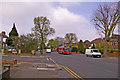
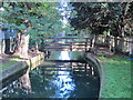
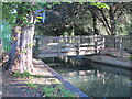
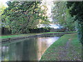
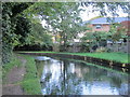
100 photos from this area
Area Information
Key information about the N21 2JN including its size, population, and administrative classification.
- Area Type
- Postcode
- Area Size
- 4320 m²
- Population
- 1562
- Population Density
- 6403 people/km²
House Prices in N21 2JN
9
Properties
£603,817
Average Sold Price
£127,000
Lowest Price
£820,000
Highest Price
Showing 9 properties
| Address | Type | Beds | Baths | Last Sale Price | Last Sale Date | |
|---|---|---|---|---|---|---|
| 71 Colne Road, Southgate, N21 2JN | Terraced | 3 | 1 | £632,500 | Mar 2025 | |
| 67 Colne Road, Southgate, N21 2JN | Semi-detached | 4 | 2 | £686,000 | Feb 2025 | |
| 59 Colne Road, Southgate, N21 2JN | house | - | - | £820,000 | Jul 2023 | |
| 61 Colne Road, Southgate, N21 2JN | house | - | - | £675,000 | Jul 2021 | |
| 63 Colne Road, Southgate, N21 2JN | house | - | - | £568,850 | Feb 2021 | |
| 69 Colne Road, Southgate, N21 2JN | house | - | - | £557,500 | Dec 2020 | |
| 65 Colne Road, Southgate, N21 2JN | Terraced | 3 | 1 | £617,500 | Dec 2020 | |
| 57 Colne Road, Southgate, N21 2JN | house | - | - | £750,000 | Nov 2019 | |
| 73 Colne Road, Southgate, N21 2JN | Detached | - | - | £127,000 | Apr 1995 |
Energy Efficiency in N21 2JN
Amenities
Schools
| Rank | School | Type | Entry gender | Ages |
|---|
Explore more schools in this area
Go to Schools tabDemographics
Household Size
Family (3-5 people)
most common
Accommodation Type
Houses
most common
Tenure
86
majority
Ethnic Group
White
most common
Religion
N/A
most common
Household Composition
N/A
most common
Age
47
median
Adults (30-64 years)
most common
Household Deprivation
N/A
with no deprivation
NS-SEC
35
in Lower managerial occupations
Explore more demographic insights in this area
Go to Demographics tabPlanning
Planning Constraints
- Flood RiskPremium
- Ramsar Wetland SitesPremium
- Area of Outstanding Natural BeautyPremium
- Protected Nature ReservePremium
- Protected WoodlandPremium