Area Overview for N21 2HD
Photos of N21 2HD
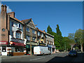


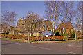
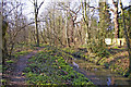
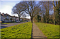

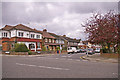
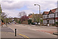

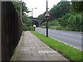

90 photos from this area
Area Information
Key information about the N21 2HD including its size, population, and administrative classification.
- Area Type
- Postcode
- Area Size
- 7917 m²
- Population
- 1701
- Population Density
- 4397 people/km²
House Prices in N21 2HD
32
Properties
£265,278
Average Sold Price
£70,000
Lowest Price
£403,000
Highest Price
Showing 32 properties
| Address | Type | Beds | Baths | Last Sale Price | Last Sale Date | |
|---|---|---|---|---|---|---|
| 39 The Grangeway, Southgate, N21 2HD | Flat | - | - | £315,000 | Oct 2024 | |
| 27A The Grangeway, Southgate, N21 2HD | Maisonette | - | - | £403,000 | May 2021 | |
| 37 The Grangeway, Southgate, N21 2HD | Maisonette | 1 | 2 | £172,000 | Apr 2021 | |
| 51 The Grangeway, Southgate, N21 2HD | Maisonette | 2 | 1 | £340,000 | Jan 2021 | |
| 31 The Grangeway, Southgate, N21 2HD | Maisonette | 3 | 1 | £345,000 | Apr 2020 | |
| 41 The Grangeway, Southgate, N21 2HD | Maisonette | 2 | 1 | £332,500 | May 2017 | |
| 43 The Grangeway, Southgate, N21 2HD | Maisonette | 2 | 1 | £220,000 | Dec 2016 | |
| 49 The Grangeway, Southgate, N21 2HD | Flat | 2 | - | £190,000 | Jun 2007 | |
| 29 The Grangeway, Southgate, N21 2HD | Flat | - | - | £70,000 | Mar 1999 | |
| 21A The Grangeway, Southgate, N21 2HD | Flat | 2 | 1 | - | - |
Page 1 of 4
Energy Efficiency in N21 2HD
Amenities
Schools
| Rank | School | Type | Entry gender | Ages |
|---|
Explore more schools in this area
Go to Schools tabDemographics
Household Size
Family (3-5 people)
most common
Accommodation Type
Houses
most common
Tenure
78
majority
Ethnic Group
White
most common
Religion
N/A
most common
Household Composition
N/A
most common
Age
47
median
Adults (30-64 years)
most common
Household Deprivation
N/A
with no deprivation
NS-SEC
44
in Lower managerial occupations
Explore more demographic insights in this area
Go to Demographics tabPlanning
Planning Constraints
- Flood RiskPremium
- Ramsar Wetland SitesPremium
- Area of Outstanding Natural BeautyPremium
- Protected Nature ReservePremium
- Protected WoodlandPremium