Area Overview for N21 1ST
Photos of N21 1ST
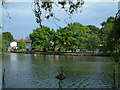
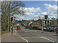
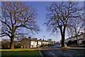
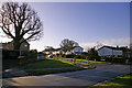
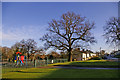

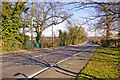
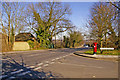
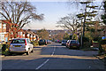
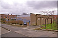
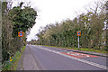
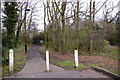
100 photos from this area
Area Information
Key information about the N21 1ST including its size, population, and administrative classification.
- Area Type
- Postcode
- Area Size
- 2743 m²
- Population
- 1817
- Population Density
- 8855 people/km²
House Prices in N21 1ST
13
Properties
£325,795
Average Sold Price
£95,000
Lowest Price
£499,000
Highest Price
Showing 13 properties
| Address | Type | Beds | Baths | Last Sale Price | Last Sale Date | |
|---|---|---|---|---|---|---|
| 3 Chadwick Avenue, Southgate, N21 1ST | Terraced | 2 | 1 | £480,000 | Sep 2022 | |
| 7 Chadwick Avenue, Southgate, N21 1ST | Terraced | 2 | 1 | £480,000 | Dec 2018 | |
| 4 Chadwick Avenue, Southgate, N21 1ST | Terraced | 2 | - | £447,000 | Feb 2017 | |
| 2 Chadwick Avenue, Southgate, N21 1ST | Terraced | 2 | 1 | £475,000 | Nov 2016 | |
| 6 Chadwick Avenue, Southgate, N21 1ST | Terraced | 2 | 1 | £499,000 | Oct 2016 | |
| 5 Chadwick Avenue, Southgate, N21 1ST | Terraced | 2 | 1 | £292,000 | Feb 2013 | |
| 9 Chadwick Avenue, Southgate, N21 1ST | house | 2 | 1 | £226,000 | Sep 2003 | |
| 11 Chadwick Avenue, Southgate, N21 1ST | Terraced | 2 | - | £164,950 | Feb 2001 | |
| 13 Chadwick Avenue, Southgate, N21 1ST | Terraced | 2 | 1 | £99,000 | Jul 1996 | |
| 1 Chadwick Avenue, Southgate, N21 1ST | Terraced | - | - | £95,000 | May 1996 |
Page 1 of 2
Energy Efficiency in N21 1ST
Amenities
Schools
| Rank | School | Type | Entry gender | Ages |
|---|
Explore more schools in this area
Go to Schools tabDemographics
Household Size
Family (3-5 people)
most common
Accommodation Type
Flats
most common
Tenure
57
majority
Ethnic Group
White
most common
Religion
N/A
most common
Household Composition
N/A
most common
Age
47
median
Adults (30-64 years)
most common
Household Deprivation
N/A
with no deprivation
NS-SEC
42
in Lower managerial occupations
Explore more demographic insights in this area
Go to Demographics tabPlanning
Planning Constraints
- Flood RiskPremium
- Ramsar Wetland SitesPremium
- Area of Outstanding Natural BeautyPremium
- Protected Nature ReservePremium
- Protected WoodlandPremium