Area Overview for N20 9PJ
Photos of N20 9PJ

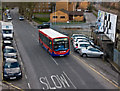
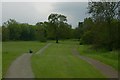
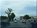
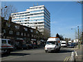

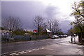
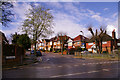
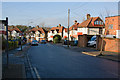


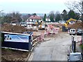
77 photos from this area
Area Information
Key information about the N20 9PJ including its size, population, and administrative classification.
- Area Type
- Postcode
- Area Size
- 3.9 hectares
- Population
- 1808
- Population Density
- 3420 people/km²
House Prices in N20 9PJ
54
Properties
£625,278
Average Sold Price
£107,500
Lowest Price
£1,250,000
Highest Price
Showing 54 properties
| Address | Type | Beds | Baths | Last Sale Price | Last Sale Date | |
|---|---|---|---|---|---|---|
| 1495 High Road, Whetstone, London, N20 9PJ | Semi-detached | 4 | - | £1,185,000 | Jul 2023 | |
| 1495A High Road, Whetstone, London, N20 9PJ | house | - | - | £680,000 | Oct 2021 | |
| 1467C High Road, Whetstone, London, N20 9PJ | Flat | 2 | 1 | £575,000 | Jun 2021 | |
| 1511 HIGH ROAD, Whetstone, London, N20 9PJ | Flat | 1 | 1 | £1,250,000 | Nov 2019 | |
| 1515 High Road, Whetstone, London, N20 9PJ | Semi-detached | 4 | 2 | £690,000 | May 2019 | |
| 1503 High Road, Whetstone, London, N20 9PJ | house | - | - | £950,000 | May 2018 | |
| 1517 High Road, Whetstone, London, N20 9PJ | Semi-detached | 4 | 4 | £875,000 | Oct 2017 | |
| 1493 High Road, Whetstone, London, N20 9PJ | Semi-detached | 5 | 2 | £825,000 | Sep 2015 | |
| 1519 High Road, Whetstone, London, N20 9PJ | Semi-detached | 3 | 1 | £525,000 | Mar 2014 | |
| 1467A High Road, Whetstone, London, N20 9PJ | Flat | - | - | £530,000 | Feb 2014 |
Page 1 of 6
Energy Efficiency in N20 9PJ
Amenities
Schools
| Rank | School | Type | Entry gender | Ages |
|---|
Explore more schools in this area
Go to Schools tabDemographics
Household Size
Family (3-5 people)
most common
Accommodation Type
Houses
most common
Tenure
73
majority
Ethnic Group
White
most common
Religion
N/A
most common
Household Composition
N/A
most common
Age
47
median
Adults (30-64 years)
most common
Household Deprivation
N/A
with no deprivation
NS-SEC
49
in Lower managerial occupations
Explore more demographic insights in this area
Go to Demographics tabPlanning
Planning Constraints
- Flood RiskPremium
- Ramsar Wetland SitesPremium
- Area of Outstanding Natural BeautyPremium
- Protected Nature ReservePremium
- Protected WoodlandPremium