Area Overview for N2 0BS
Photos of N2 0BS
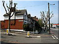

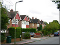
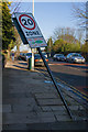
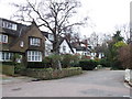
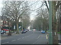
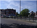
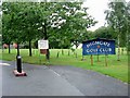
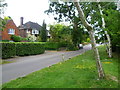
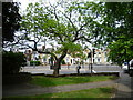
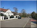
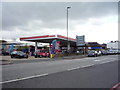
100 photos from this area
Area Information
Key information about the N2 0BS including its size, population, and administrative classification.
- Area Type
- Postcode
- Area Size
- 10.7 hectares
- Population
- 1597
- Population Density
- 2672 people/km²
House Prices in N2 0BS
26
Properties
£1,209,364
Average Sold Price
£300,000
Lowest Price
£3,325,000
Highest Price
Showing 26 properties
| Address | Type | Beds | Baths | Last Sale Price | Last Sale Date | |
|---|---|---|---|---|---|---|
| 23 Aylmer Road, Hornsey, London, N2 0BS | Detached | 6 | 4 | £3,325,000 | Sep 2023 | |
| 3 Aylmer Road, East Finchley, London, N2 0BS | Detached | 7 | 1 | £2,675,000 | Jun 2023 | |
| 3A Aylmer Road, East Finchley, London, N2 0BS | Flat | 6 | 5 | £548,000 | Jan 2017 | |
| 9 Aylmer Road, Hornsey, London, N2 0BS | house | - | - | £1,650,000 | Jun 2010 | |
| 11 Aylmer Road, Hornsey, London, N2 0BS | house | 6 | 5 | £960,000 | Aug 2006 | |
| 17 Aylmer Road, Hornsey, London, N2 0BS | house | - | - | £1,100,000 | Mar 2006 | |
| 19 Aylmer Road, Hornsey, London, N2 0BS | Detached | 9 | 2 | £815,000 | Jun 2004 | |
| 21 Aylmer Road, Hornsey, London, N2 0BS | Detached | - | - | £860,000 | Oct 2002 | |
| 25 Aylmer Road, Hornsey, London, N2 0BS | Flat | 3 | 3 | £700,000 | Oct 2002 | |
| 27A Aylmer Road, Hornsey, London, N2 0BS | house | - | - | £300,000 | Feb 1997 |
Page 1 of 3
Energy Efficiency in N2 0BS
Amenities
Schools
| Rank | School | Type | Entry gender | Ages |
|---|
Explore more schools in this area
Go to Schools tabDemographics
Household Size
One person
most common
Accommodation Type
Houses
most common
Tenure
49
majority
Ethnic Group
White
most common
Religion
N/A
most common
Household Composition
N/A
most common
Age
47
median
Adults (30-64 years)
most common
Household Deprivation
N/A
with no deprivation
NS-SEC
54
in Lower managerial occupations
Explore more demographic insights in this area
Go to Demographics tabPlanning
Planning Constraints
- Flood RiskPremium
- Ramsar Wetland SitesPremium
- Area of Outstanding Natural BeautyPremium
- Protected Nature ReservePremium
- Protected WoodlandPremium