Area Overview for N19 5DA
Photos of N19 5DA

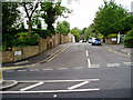


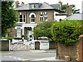
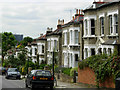
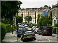

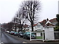
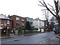
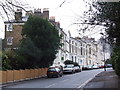
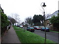
100 photos from this area
Area Information
Key information about the N19 5DA including its size, population, and administrative classification.
- Area Type
- Postcode
- Area Size
- 6974 m²
- Population
- 1483
- Population Density
- 13834 people/km²
House Prices in N19 5DA
93
Properties
£656,779
Average Sold Price
£480,000
Lowest Price
£1,434,125
Highest Price
Showing 93 properties
| Address | Type | Beds | Baths | Last Sale Price | Last Sale Date | |
|---|---|---|---|---|---|---|
| 59 Balmore Street, London, N19 5DA | Maisonette | 2 | 1 | £579,000 | Feb 2022 | |
| 1 Balmore Street, London, N19 5DA | house | 3 | - | £1,434,125 | Feb 2022 | |
| 81 Balmore Street, London, N19 5DA | Flat | 2 | 2 | £655,000 | Jun 2021 | |
| 67 Balmore Street, London, N19 5DA | Flat | - | - | £480,000 | Sep 2014 | |
| 55 Balmore Street, London, N19 5DA | Flat | - | - | £550,000 | Aug 2014 | |
| 51 Balmore Street, London, N19 5DA | Flat | 2 | 2 | £595,000 | Jul 2014 | |
| 69 Balmore Street, London, N19 5DA | Flat | 2 | 2 | £620,000 | Jul 2014 | |
| 79 Balmore Street, London, N19 5DA | Flat | - | - | £620,000 | Jul 2014 | |
| 53 Balmore Street, London, N19 5DA | Flat | - | - | £600,000 | Jul 2014 | |
| 49 Balmore Street, London, N19 5DA | Flat | - | - | £595,000 | Jul 2014 |
Page 1 of 10
Energy Efficiency in N19 5DA
Amenities
Schools
| Rank | School | Type | Entry gender | Ages |
|---|
Explore more schools in this area
Go to Schools tabDemographics
Household Size
Family (3-5 people)
most common
Accommodation Type
Flats
most common
Tenure
30
majority
Ethnic Group
White
most common
Religion
N/A
most common
Household Composition
N/A
most common
Age
47
median
Adults (30-64 years)
most common
Household Deprivation
N/A
with no deprivation
NS-SEC
40
in Lower managerial occupations
Explore more demographic insights in this area
Go to Demographics tabPlanning
Planning Constraints
- Flood RiskPremium
- Ramsar Wetland SitesPremium
- Area of Outstanding Natural BeautyPremium
- Protected Nature ReservePremium
- Protected WoodlandPremium