Area Overview for N19 3JW
Photos of N19 3JW
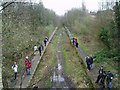
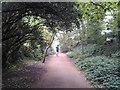
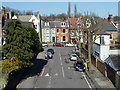
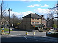
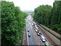
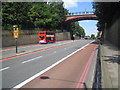
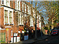
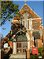
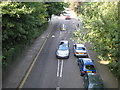
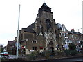
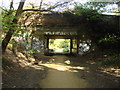
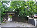
100 photos from this area
Area Information
Key information about the N19 3JW including its size, population, and administrative classification.
- Area Type
- Postcode
- Area Size
- 6143 m²
- Population
- 1504
- Population Density
- 14135 people/km²
House Prices in N19 3JW
27
Properties
£792,714
Average Sold Price
£235,000
Lowest Price
£1,225,000
Highest Price
Showing 27 properties
| Address | Type | Beds | Baths | Last Sale Price | Last Sale Date | |
|---|---|---|---|---|---|---|
| 8 Cressida Road, London, N19 3JW | Terraced | 4 | 1 | £1,090,000 | Mar 2025 | |
| 30 Cressida Road, London, N19 3JW | Terraced | 3 | 2 | £1,025,000 | Feb 2025 | |
| 2 Cressida Road, London, N19 3JW | Terraced | 3 | 2 | £1,050,000 | Jan 2024 | |
| 40 Cressida Road, London, N19 3JW | house | - | - | £1,040,000 | Mar 2022 | |
| 42 Cressida Road, London, N19 3JW | house | 3 | - | £1,125,000 | Sep 2021 | |
| 20 Cressida Road, London, N19 3JW | house | 3 | - | £1,225,000 | Sep 2020 | |
| 32 Cressida Road, London, N19 3JW | house | - | - | £901,000 | Nov 2018 | |
| 22 Cressida Road, London, N19 3JW | house | - | - | £1,160,000 | Aug 2017 | |
| 10 Cressida Road, London, N19 3JW | Terraced | - | - | £550,000 | Feb 2007 | |
| 24 Cressida Road, London, N19 3JW | Terraced | 1 | 1 | £548,000 | Jan 2007 |
Page 1 of 3
Energy Efficiency in N19 3JW
Amenities
Schools
| Rank | School | Type | Entry gender | Ages |
|---|
Explore more schools in this area
Go to Schools tabDemographics
Household Size
Two person
most common
Accommodation Type
Flats
most common
Tenure
49
majority
Ethnic Group
White
most common
Religion
N/A
most common
Household Composition
N/A
most common
Age
47
median
Adults (30-64 years)
most common
Household Deprivation
N/A
with no deprivation
NS-SEC
50
in Lower managerial occupations
Explore more demographic insights in this area
Go to Demographics tabPlanning
Planning Constraints
- Flood RiskPremium
- Ramsar Wetland SitesPremium
- Area of Outstanding Natural BeautyPremium
- Protected Nature ReservePremium
- Protected WoodlandPremium