Area Overview for N19 3BE
Photos of N19 3BE
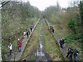
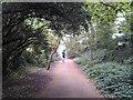
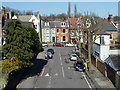
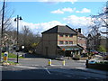
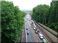
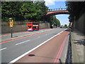
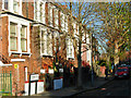
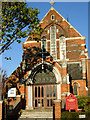
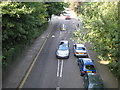
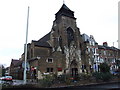
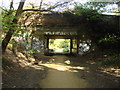
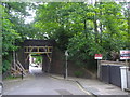
100 photos from this area
Area Information
Key information about the N19 3BE including its size, population, and administrative classification.
- Area Type
- Postcode
- Area Size
- 5120 m²
- Population
- 1449
- Population Density
- 15923 people/km²
House Prices in N19 3BE
28
Properties
£936,132
Average Sold Price
£260,000
Lowest Price
£1,750,000
Highest Price
Showing 28 properties
| Address | Type | Beds | Baths | Last Sale Price | Last Sale Date | |
|---|---|---|---|---|---|---|
| 29 Dresden Road, London, N19 3BE | Terraced | 4 | 2 | £1,750,000 | Sep 2023 | |
| 3 Dresden Road, London, N19 3BE | house | - | - | £1,450,000 | Mar 2022 | |
| 15 Dresden Road, London, N19 3BE | house | - | - | £1,275,000 | Sep 2021 | |
| 35 Dresden Road, London, N19 3BE | house | - | - | £1,300,000 | Jan 2021 | |
| 7 Dresden Road, London, N19 3BE | Terraced | 4 | 1 | £1,173,500 | Apr 2019 | |
| 19 Dresden Road, London, N19 3BE | Terraced | 1 | - | £1,200,000 | Nov 2017 | |
| 37 Dresden Road, London, N19 3BE | house | - | - | £717,000 | Jul 2012 | |
| 33 Dresden Road, London, N19 3BE | house | 3 | - | £642,000 | Sep 2011 | |
| 11 Dresden Road, London, N19 3BE | house | 4 | - | £1,000,000 | Jul 2011 | |
| 27 Dresden Road, London, N19 3BE | Terraced | - | - | £630,000 | Nov 2008 |
Page 1 of 3
Energy Efficiency in N19 3BE
Amenities
Schools
| Rank | School | Type | Entry gender | Ages |
|---|
Explore more schools in this area
Go to Schools tabDemographics
Household Size
Family (3-5 people)
most common
Accommodation Type
Flats
most common
Tenure
40
majority
Ethnic Group
White
most common
Religion
N/A
most common
Household Composition
N/A
most common
Age
47
median
Adults (30-64 years)
most common
Household Deprivation
N/A
with no deprivation
NS-SEC
44
in Lower managerial occupations
Explore more demographic insights in this area
Go to Demographics tabPlanning
Planning Constraints
- Flood RiskPremium
- Ramsar Wetland SitesPremium
- Area of Outstanding Natural BeautyPremium
- Protected Nature ReservePremium
- Protected WoodlandPremium