Area Overview for N18 1HE
Photos of N18 1HE
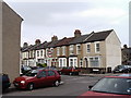

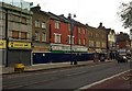
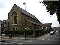
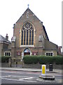
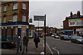
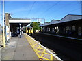
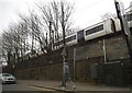
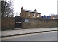
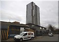
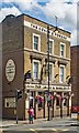
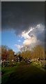
85 photos from this area
Area Information
Key information about the N18 1HE including its size, population, and administrative classification.
- Area Type
- Postcode
- Area Size
- 4337 m²
- Population
- 2072
- Population Density
- 5685 people/km²
House Prices in N18 1HE
25
Properties
£199,317
Average Sold Price
£71,000
Lowest Price
£325,000
Highest Price
Showing 25 properties
| Address | Type | Beds | Baths | Last Sale Price | Last Sale Date | |
|---|---|---|---|---|---|---|
| 39 Parkstone Avenue, Edmonton, N18 1HE | Terraced | 4 | 1 | £325,000 | Nov 2020 | |
| 1 Parkstone Avenue, Edmonton, N18 1HE | Terraced | 3 | 1 | £238,500 | Jan 2013 | |
| 31 Parkstone Avenue, Edmonton, N18 1HE | Terraced | - | - | £249,995 | Jun 2011 | |
| 19 Parkstone Avenue, Edmonton, N18 1HE | Terraced | 3 | 1 | £225,000 | Sep 2010 | |
| 29 Parkstone Avenue, Edmonton, N18 1HE | Terraced | 3 | 1 | £243,000 | Oct 2006 | |
| 37 Parkstone Avenue, Edmonton, N18 1HE | Terraced | - | - | £207,000 | Oct 2005 | |
| 3 Parkstone Avenue, Edmonton, N18 1HE | house | - | - | £224,995 | Mar 2004 | |
| 21 Parkstone Avenue, Edmonton, N18 1HE | Terraced | - | - | £180,000 | Sep 2002 | |
| 13 Parkstone Avenue, Edmonton, N18 1HE | Terraced | 3 | 2 | £150,000 | Jan 2002 | |
| 27 Parkstone Avenue, Edmonton, N18 1HE | Terraced | - | - | £78,000 | Oct 1997 |
Page 1 of 3
Energy Efficiency in N18 1HE
Amenities
Schools
| Rank | School | Type | Entry gender | Ages |
|---|
Explore more schools in this area
Go to Schools tabDemographics
Household Size
Family (3-5 people)
most common
Accommodation Type
Houses
most common
Tenure
46
majority
Ethnic Group
White
most common
Religion
N/A
most common
Household Composition
N/A
most common
Age
47
median
Adults (30-64 years)
most common
Household Deprivation
N/A
with no deprivation
NS-SEC
24
in Lower managerial occupations
Explore more demographic insights in this area
Go to Demographics tabPlanning
Planning Constraints
- Flood RiskPremium
- Ramsar Wetland SitesPremium
- Area of Outstanding Natural BeautyPremium
- Protected Nature ReservePremium
- Protected WoodlandPremium