Area Overview for N17 9HT
Photos of N17 9HT
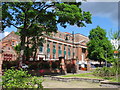
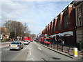
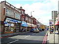
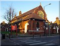
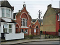
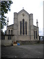
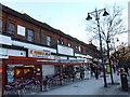
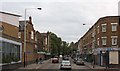
100 photos from this area
Area Information
Key information about the N17 9HT including its size, population, and administrative classification.
- Area Type
- Postcode
- Area Size
- 7725 m²
- Population
- 1930
- Population Density
- 13861 people/km²
House Prices in N17 9HT
17
Properties
£402,500
Average Sold Price
£235,000
Lowest Price
£625,000
Highest Price
Showing 17 properties
| Address | Type | Beds | Baths | Last Sale Price | Last Sale Date | |
|---|---|---|---|---|---|---|
| 360 High Road, Tottenham, London, N17 9HT | Terraced | 1 | 1 | £550,000 | Nov 2023 | |
| Upper Flat, 352 High Road, Tottenham, London, N17 9HT | Flat | 1 | 1 | £300,000 | Jul 2022 | |
| 356 High Road, Tottenham, London, N17 9HT | Terraced | 2 | 2 | £625,000 | Jun 2022 | |
| 358 High Road, Tottenham, London, N17 9HT | Flat | 1 | 1 | £625,000 | Dec 2021 | |
| 364 High Road, Tottenham, London, N17 9HT | Terraced | 3 | 2 | £235,000 | May 2007 | |
| 362 High Road, Tottenham, London, N17 9HT | Terraced | 3 | 2 | £245,000 | Dec 2004 | |
| 366 High Road, Tottenham, London, N17 9HT | house | - | - | £237,500 | Dec 2003 | |
| 368 High Road, Tottenham, London, N17 9HT | commercial | - | - | - | - | |
| Flat A, 366 High Road, Tottenham, London, N17 9HT | Flat | - | - | - | - | |
| 370 High Road, Tottenham, London, N17 9HT | Terraced | - | - | - | - |
Page 1 of 2
Energy Efficiency in N17 9HT
Amenities
Schools
| Rank | School | Type | Entry gender | Ages |
|---|
Explore more schools in this area
Go to Schools tabDemographics
Household Size
Family (3-5 people)
most common
Accommodation Type
Flats
most common
Tenure
22
majority
Ethnic Group
black_total
most common
Religion
N/A
most common
Household Composition
N/A
most common
Age
47
median
Adults (30-64 years)
most common
Household Deprivation
N/A
with no deprivation
NS-SEC
20
in Lower managerial occupations
Explore more demographic insights in this area
Go to Demographics tabPlanning
Planning Constraints
- Flood RiskPremium
- Ramsar Wetland SitesPremium
- Area of Outstanding Natural BeautyPremium
- Protected Nature ReservePremium
- Protected WoodlandPremium