Area Overview for N17 9EZ
Photos of N17 9EZ
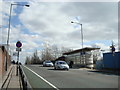
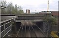

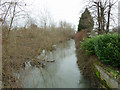
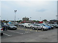
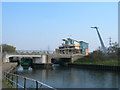
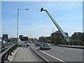
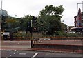
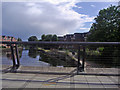

100 photos from this area
Area Information
Key information about the N17 9EZ including its size, population, and administrative classification.
- Area Type
- Postcode
- Area Size
- 7701 m²
- Population
- 1930
- Population Density
- 13861 people/km²
House Prices in N17 9EZ
68
Properties
£262,648
Average Sold Price
£54,000
Lowest Price
£600,000
Highest Price
Showing 68 properties
| Address | Type | Beds | Baths | Last Sale Price | Last Sale Date | |
|---|---|---|---|---|---|---|
| 118 Scales Road, Tottenham, London, N17 9EZ | Terraced | 3 | 1 | £600,000 | Jun 2024 | |
| 68 Scales Road, Tottenham, London, N17 9EZ | house | - | - | £187,000 | Apr 2024 | |
| 92 Scales Road, Tottenham, London, N17 9EZ | house | - | - | £591,250 | Sep 2021 | |
| 64 Scales Road, Tottenham, London, N17 9EZ | house | - | - | £540,000 | Sep 2021 | |
| 70 Scales Road, Tottenham, London, N17 9EZ | Terraced | 3 | 1 | £425,000 | May 2019 | |
| 42 Scales Road, Tottenham, London, N17 9EZ | Terraced | 3 | 1 | £352,000 | Mar 2016 | |
| 72 Scales Road, Tottenham, London, N17 9EZ | Terraced | 3 | 1 | £382,000 | Oct 2014 | |
| 108 Scales Road, Tottenham, London, N17 9EZ | Terraced | 3 | 1 | £393,000 | Oct 2014 | |
| 38 Scales Road, Tottenham, London, N17 9EZ | Terraced | 3 | 1 | £285,000 | Aug 2013 | |
| 96 Scales Road, Tottenham, London, N17 9EZ | Terraced | 4 | 2 | £250,000 | Jul 2010 |
Page 1 of 7
Energy Efficiency in N17 9EZ
Amenities
Schools
| Rank | School | Type | Entry gender | Ages |
|---|
Explore more schools in this area
Go to Schools tabDemographics
Household Size
Family (3-5 people)
most common
Accommodation Type
Flats
most common
Tenure
22
majority
Ethnic Group
black_total
most common
Religion
N/A
most common
Household Composition
N/A
most common
Age
47
median
Adults (30-64 years)
most common
Household Deprivation
N/A
with no deprivation
NS-SEC
20
in Lower managerial occupations
Explore more demographic insights in this area
Go to Demographics tabPlanning
Planning Constraints
- Flood RiskPremium
- Ramsar Wetland SitesPremium
- Area of Outstanding Natural BeautyPremium
- Protected Nature ReservePremium
- Protected WoodlandPremium