Area Overview for N17 6XT
Photos of N17 6XT
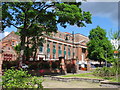
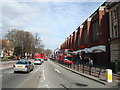
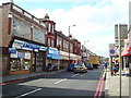
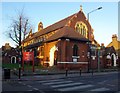
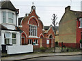
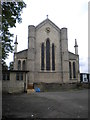
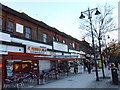
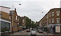
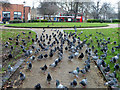
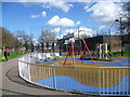
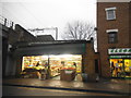
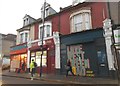
100 photos from this area
Area Information
Key information about the N17 6XT including its size, population, and administrative classification.
- Area Type
- Postcode
- Area Size
- 4411 m²
- Population
- 1803
- Population Density
- 18530 people/km²
House Prices in N17 6XT
34
Properties
£344,450
Average Sold Price
£77,000
Lowest Price
£610,000
Highest Price
Showing 34 properties
| Address | Type | Beds | Baths | Last Sale Price | Last Sale Date | |
|---|---|---|---|---|---|---|
| 112 Ranelagh Road, Tottenham, London, N17 6XT | Terraced | 5 | 3 | £610,000 | Mar 2023 | |
| 120 Ranelagh Road, Tottenham, London, N17 6XT | Terraced | 3 | 1 | £450,000 | Dec 2020 | |
| 94 Ranelagh Road, Tottenham, London, N17 6XT | Terraced | 3 | 2 | £540,000 | Jul 2019 | |
| 88 Ranelagh Road, Tottenham, London, N17 6XT | Terraced | 3 | - | £423,600 | Nov 2014 | |
| 130 Ranelagh Road, Tottenham, London, N17 6XT | Terraced | - | - | £225,000 | Jul 2014 | |
| 100 Ranelagh Road, Tottenham, London, N17 6XT | Terraced | - | - | £225,000 | Jun 2005 | |
| 98 Ranelagh Road, Tottenham, London, N17 6XT | house | 3 | 1 | £205,000 | Sep 2003 | |
| 126 Ranelagh Road, Tottenham, London, N17 6XT | Terraced | - | - | £77,000 | Apr 1997 | |
| 102 Ranelagh Road, Tottenham, London, N17 6XT | Terraced | 3 | 1 | - | - | |
| 82 Ranelagh Road, Tottenham, London, N17 6XT | Terraced | 3 | 1 | - | - |
Page 1 of 4
Energy Efficiency in N17 6XT
Amenities
Schools
| Rank | School | Type | Entry gender | Ages |
|---|
Explore more schools in this area
Go to Schools tabDemographics
Household Size
Family (3-5 people)
most common
Accommodation Type
Houses
most common
Tenure
34
majority
Ethnic Group
White
most common
Religion
N/A
most common
Household Composition
N/A
most common
Age
47
median
Adults (30-64 years)
most common
Household Deprivation
N/A
with no deprivation
NS-SEC
24
in Lower managerial occupations
Explore more demographic insights in this area
Go to Demographics tabPlanning
Planning Constraints
- Flood RiskPremium
- Ramsar Wetland SitesPremium
- Area of Outstanding Natural BeautyPremium
- Protected Nature ReservePremium
- Protected WoodlandPremium