Area Overview for N16 6TU
Photos of N16 6TU
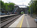
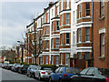
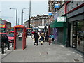
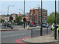
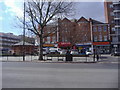
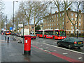
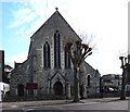
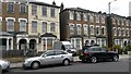

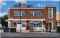
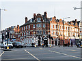
70 photos from this area
Area Information
Key information about the N16 6TU including its size, population, and administrative classification.
- Area Type
- Postcode
- Area Size
- 2190 m²
- Population
- 1699
- Population Density
- 14904 people/km²
House Prices in N16 6TU
23
Properties
£150,000
Average Sold Price
£140,000
Lowest Price
£160,000
Highest Price
Showing 23 properties
| Address | Type | Beds | Baths | Last Sale Price | Last Sale Date | |
|---|---|---|---|---|---|---|
| Flat A, 258 Stamford Hill, Hackney, London, N16 6TU | Flat | - | 1 | £160,000 | Sep 2001 | |
| 268B Stamford Hill, Hackney, London, N16 6TU | Retail | - | - | £140,000 | Nov 1999 | |
| Flat 9, 256A Stamford Hill, Hackney, London, N16 6TU | Flat | - | - | - | - | |
| 254A Stamford Hill, Hackney, London, N16 6TU | office_workshop | - | - | - | - | |
| 268C Stamford Hill, Hackney, London, N16 6TU | retail_financial | - | - | - | - | |
| Opposite 268, Stamford Hill, Hackney, London, N16 6TU | Flat | 2 | 1 | - | - | |
| First And Second Floor Flat, 262 Stamford Hill, Hackney, London, N16 6TU | Flat | - | - | - | - | |
| House Of Aksler, Ground Floor Front, 256 Stamford Hill, Hackney, London, N16 6TU | shop | - | - | - | - | |
| Flat 4, 256A Stamford Hill, Hackney, London, N16 6TU | Flat | - | - | - | - | |
| Flat 8, 256A Stamford Hill, Hackney, London, N16 6TU | Flat | - | - | - | - |
Page 1 of 3
Energy Efficiency in N16 6TU
Amenities
Schools
| Rank | School | Type | Entry gender | Ages |
|---|
Explore more schools in this area
Go to Schools tabDemographics
Household Size
Family (3-5 people)
most common
Accommodation Type
Flats
most common
Tenure
33
majority
Ethnic Group
White
most common
Religion
N/A
most common
Household Composition
N/A
most common
Age
22
median
Adults (30-64 years)
most common
Household Deprivation
N/A
with no deprivation
NS-SEC
31
in Lower managerial occupations
Explore more demographic insights in this area
Go to Demographics tabPlanning
Planning Constraints
- Flood RiskPremium
- Ramsar Wetland SitesPremium
- Area of Outstanding Natural BeautyPremium
- Protected Nature ReservePremium
- Protected WoodlandPremium