Area Overview for N16 5UX
Photos of N16 5UX
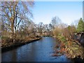
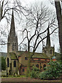
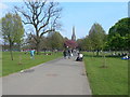
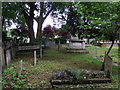
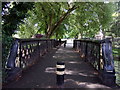
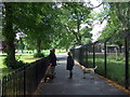
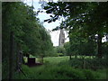
100 photos from this area
Area Information
Key information about the N16 5UX including its size, population, and administrative classification.
- Area Type
- Postcode
- Area Size
- 2048 m²
- Population
- 1671
- Population Density
- 15081 people/km²
House Prices in N16 5UX
4
Properties
£1,183,333
Average Sold Price
£675,000
Lowest Price
£1,995,000
Highest Price
Showing 4 properties
| Address | Type | Beds | Baths | Last Sale Price | Last Sale Date | |
|---|---|---|---|---|---|---|
| 62 Queen Elizabeths Walk, Hackney, London, N16 5UX | house | - | - | £1,995,000 | Jun 2021 | |
| 58 Queen Elizabeths Walk, Hackney, London, N16 5UX | Terraced | 5 | - | £880,000 | Aug 2011 | |
| 60 Queen Elizabeths Walk, Hackney, London, N16 5UX | Terraced | - | - | £675,000 | Oct 2002 | |
| Yad Voezer Care Home, 64 Queen Elizabeths Walk, Hackney, London, N16 5UX | hospital_care_home | - | - | - | - |
Energy Efficiency in N16 5UX
Amenities
Schools
| Rank | School | Type | Entry gender | Ages |
|---|
Explore more schools in this area
Go to Schools tabDemographics
Household Size
Family (3-5 people)
most common
Accommodation Type
Flats
most common
Tenure
33
majority
Ethnic Group
White
most common
Religion
N/A
most common
Household Composition
N/A
most common
Age
22
median
Children (0-14 years)
most common
Household Deprivation
N/A
with no deprivation
NS-SEC
34
in Lower managerial occupations
Explore more demographic insights in this area
Go to Demographics tabPlanning
Planning Constraints
- Flood RiskPremium
- Ramsar Wetland SitesPremium
- Area of Outstanding Natural BeautyPremium
- Protected Nature ReservePremium
- Protected WoodlandPremium