Area Overview for N15 6SS
Photos of N15 6SS
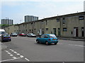
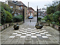
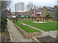
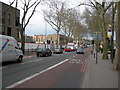
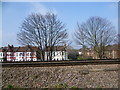
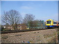
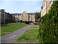
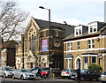
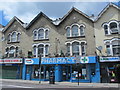
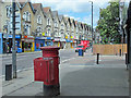
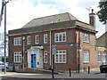
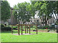
100 photos from this area
Area Information
Key information about the N15 6SS including its size, population, and administrative classification.
- Area Type
- Postcode
- Area Size
- 5895 m²
- Population
- 1694
- Population Density
- 20434 people/km²
House Prices in N15 6SS
67
Properties
£181,625
Average Sold Price
£30,000
Lowest Price
£340,000
Highest Price
Showing 67 properties
| Address | Type | Beds | Baths | Last Sale Price | Last Sale Date | |
|---|---|---|---|---|---|---|
| 40 Remington Road, Tottenham, London, N15 6SS | Flat | 2 | 1 | £325,000 | Mar 2025 | |
| 35 Remington Road, Tottenham, London, N15 6SS | Flat | - | - | £290,000 | Oct 2023 | |
| 21 Remington Road, Tottenham, London, N15 6SS | Flat | - | - | £340,000 | Sep 2023 | |
| 43 Remington Road, Tottenham, London, N15 6SS | Flat | 2 | 1 | £290,000 | Jul 2020 | |
| 27 Remington Road, Tottenham, London, N15 6SS | Flat | - | - | £203,500 | Oct 2018 | |
| 9 Remington Road, Tottenham, London, N15 6SS | Flat | - | - | £330,000 | Nov 2017 | |
| 56 Remington Road, Tottenham, London, N15 6SS | Flat | - | - | £245,000 | Oct 2015 | |
| 33 Remington Road, Tottenham, London, N15 6SS | Flat | - | - | £179,000 | Sep 2012 | |
| 12 Remington Road, Tottenham, London, N15 6SS | Flat | 3 | 1 | £185,000 | Jul 2012 | |
| 5 Remington Road, Tottenham, London, N15 6SS | Flat | - | - | £173,000 | Oct 2011 |
Page 1 of 7
Energy Efficiency in N15 6SS
Amenities
Schools
| Rank | School | Type | Entry gender | Ages |
|---|
Explore more schools in this area
Go to Schools tabDemographics
Household Size
Family (3-5 people)
most common
Accommodation Type
Flats
most common
Tenure
18
majority
Ethnic Group
White
most common
Religion
N/A
most common
Household Composition
N/A
most common
Age
47
median
Adults (30-64 years)
most common
Household Deprivation
N/A
with no deprivation
NS-SEC
19
in Lower managerial occupations
Explore more demographic insights in this area
Go to Demographics tabPlanning
Planning Constraints
- Flood RiskPremium
- Ramsar Wetland SitesPremium
- Area of Outstanding Natural BeautyPremium
- Protected Nature ReservePremium
- Protected WoodlandPremium