Area Overview for N15 4JF
Photos of N15 4JF
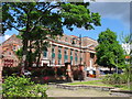
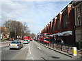
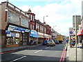
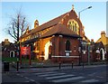
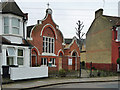
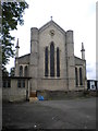
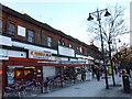
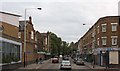
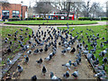
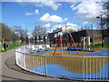
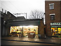
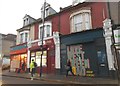
100 photos from this area
Area Information
Key information about the N15 4JF including its size, population, and administrative classification.
- Area Type
- Postcode
- Area Size
- 4793 m²
- Population
- 1803
- Population Density
- 18530 people/km²
House Prices in N15 4JF
34
Properties
£467,402
Average Sold Price
£115,000
Lowest Price
£743,520
Highest Price
Showing 34 properties
| Address | Type | Beds | Baths | Last Sale Price | Last Sale Date | |
|---|---|---|---|---|---|---|
| 15 Arnold Road, Tottenham, London, N15 4JF | Terraced | 3 | 2 | £675,000 | Sep 2025 | |
| 19 Arnold Road, Tottenham, London, N15 4JF | house | 3 | 1 | £550,000 | Feb 2024 | |
| 33 Arnold Road, Tottenham, London, N15 4JF | Terraced | 3 | 1 | £743,520 | Feb 2023 | |
| 9 Arnold Road, Tottenham, London, N15 4JF | Terraced | 3 | 1 | £575,500 | Sep 2020 | |
| 57 Arnold Road, Tottenham, London, N15 4JF | Terraced | 3 | 3 | £705,000 | May 2020 | |
| 7 Arnold Road, Tottenham, London, N15 4JF | Terraced | 3 | 1 | £600,000 | Dec 2019 | |
| 45 Arnold Road, Tottenham, London, N15 4JF | Terraced | 1 | 1 | £260,000 | Dec 2006 | |
| 49 Arnold Road, Tottenham, London, N15 4JF | house | 4 | - | £225,000 | Jan 2006 | |
| 29 Arnold Road, Tottenham, London, N15 4JF | house | 3 | - | £225,000 | Sep 2003 | |
| 13 Arnold Road, Tottenham, London, N15 4JF | house | - | - | £115,000 | May 1999 |
Page 1 of 4
Energy Efficiency in N15 4JF
Amenities
Schools
| Rank | School | Type | Entry gender | Ages |
|---|
Explore more schools in this area
Go to Schools tabDemographics
Household Size
Family (3-5 people)
most common
Accommodation Type
Houses
most common
Tenure
34
majority
Ethnic Group
White
most common
Religion
N/A
most common
Household Composition
N/A
most common
Age
47
median
Adults (30-64 years)
most common
Household Deprivation
N/A
with no deprivation
NS-SEC
24
in Lower managerial occupations
Explore more demographic insights in this area
Go to Demographics tabPlanning
Planning Constraints
- Flood RiskPremium
- Ramsar Wetland SitesPremium
- Area of Outstanding Natural BeautyPremium
- Protected Nature ReservePremium
- Protected WoodlandPremium