Area Overview for N15 4DD
Photos of N15 4DD
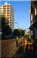
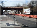
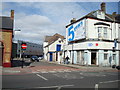
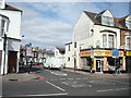
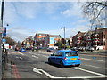
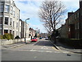
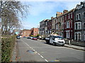
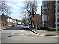
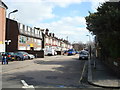
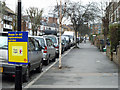
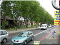
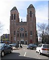
100 photos from this area
Area Information
Key information about the N15 4DD including its size, population, and administrative classification.
- Area Type
- Postcode
- Area Size
- 6677 m²
- Population
- 1780
- Population Density
- 16512 people/km²
House Prices in N15 4DD
41
Properties
£346,722
Average Sold Price
£60,000
Lowest Price
£757,500
Highest Price
Showing 41 properties
| Address | Type | Beds | Baths | Last Sale Price | Last Sale Date | |
|---|---|---|---|---|---|---|
| 9 Ashmount Road, Tottenham, London, N15 4DD | Terraced | 4 | 2 | £757,500 | Feb 2025 | |
| 7 Ashmount Road, Tottenham, London, N15 4DD | house | 3 | 1 | £685,000 | May 2019 | |
| 10 Ashmount Road, Tottenham, London, N15 4DD | house | 3 | 1 | £685,000 | Jul 2017 | |
| 6A Ashmount Road, Tottenham, London, N15 4DD | Flat | 2 | 1 | £170,000 | Jun 2008 | |
| 15 Ashmount Road, Tottenham, London, N15 4DD | Terraced | - | - | £300,000 | May 2007 | |
| 4A Ashmount Road, Tottenham, London, N15 4DD | Flat | - | - | £137,000 | Nov 2006 | |
| 18 Ashmount Road, Tottenham, London, N15 4DD | Flat | - | 1 | £230,000 | Jun 2006 | |
| 13 Ashmount Road, Tottenham, London, N15 4DD | house | - | - | £96,000 | Nov 1997 | |
| 11 Ashmount Road, Tottenham, London, N15 4DD | Terraced | - | - | £60,000 | Sep 1996 | |
| 1A Ashmount Road, Tottenham, London, N15 4DD | Flat | 4 | - | - | - |
Page 1 of 5
Energy Efficiency in N15 4DD
Amenities
Schools
| Rank | School | Type | Entry gender | Ages |
|---|
Explore more schools in this area
Go to Schools tabDemographics
Household Size
Family (3-5 people)
most common
Accommodation Type
Flats
most common
Tenure
21
majority
Ethnic Group
black_total
most common
Religion
N/A
most common
Household Composition
N/A
most common
Age
47
median
Adults (30-64 years)
most common
Household Deprivation
N/A
with no deprivation
NS-SEC
24
in Lower managerial occupations
Explore more demographic insights in this area
Go to Demographics tabPlanning
Planning Constraints
- Flood RiskPremium
- Ramsar Wetland SitesPremium
- Area of Outstanding Natural BeautyPremium
- Protected Nature ReservePremium
- Protected WoodlandPremium