Area Overview for N14 5DS
Photos of N14 5DS
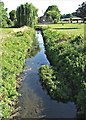
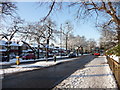
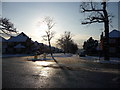
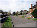
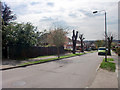
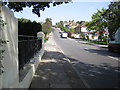
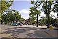
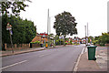
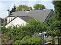
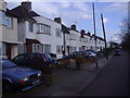
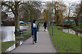
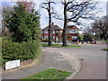
100 photos from this area
Area Information
Key information about the N14 5DS including its size, population, and administrative classification.
- Area Type
- Postcode
- Area Size
- 5612 m²
- Population
- 1495
- Population Density
- 6100 people/km²
House Prices in N14 5DS
17
Properties
£441,250
Average Sold Price
£195,000
Lowest Price
£625,000
Highest Price
Showing 17 properties
| Address | Type | Beds | Baths | Last Sale Price | Last Sale Date | |
|---|---|---|---|---|---|---|
| 123 Osidge Lane, Southgate, London, N14 5DS | Terraced | 3 | 1 | £625,000 | Jul 2024 | |
| 113 Osidge Lane, Southgate, London, N14 5DS | house | 3 | - | £550,000 | Feb 2024 | |
| 117 Osidge Lane, Southgate, London, N14 5DS | Terraced | 3 | 1 | £590,000 | Apr 2023 | |
| 107 Osidge Lane, Southgate, London, N14 5DS | Terraced | 5 | 3 | £455,000 | Aug 2015 | |
| 105 Osidge Lane, Southgate, London, N14 5DS | Terraced | 3 | - | £470,000 | Jul 2015 | |
| 121 Osidge Lane, Southgate, London, N14 5DS | Terraced | 1 | 1 | £330,000 | Jun 2012 | |
| 115 Osidge Lane, Southgate, London, N14 5DS | Terraced | 1 | 1 | £315,000 | Aug 2006 | |
| 109 Osidge Lane, Southgate, London, N14 5DS | Terraced | 3 | 1 | £195,000 | Sep 2002 | |
| 127 Osidge Lane, Southgate, London, N14 5DS | Terraced | - | - | - | - | |
| 125 Osidge Lane, Southgate, London, N14 5DS | Terraced | - | - | - | - |
Page 1 of 2
Energy Efficiency in N14 5DS
Amenities
Schools
| Rank | School | Type | Entry gender | Ages |
|---|
Explore more schools in this area
Go to Schools tabDemographics
Household Size
Family (3-5 people)
most common
Accommodation Type
Houses
most common
Tenure
86
majority
Ethnic Group
White
most common
Religion
N/A
most common
Household Composition
N/A
most common
Age
47
median
Adults (30-64 years)
most common
Household Deprivation
N/A
with no deprivation
NS-SEC
44
in Lower managerial occupations
Explore more demographic insights in this area
Go to Demographics tabPlanning
Planning Constraints
- Flood RiskPremium
- Ramsar Wetland SitesPremium
- Area of Outstanding Natural BeautyPremium
- Protected Nature ReservePremium
- Protected WoodlandPremium