Area Overview for N14 4AH
Photos of N14 4AH
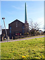
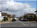
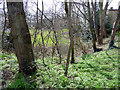
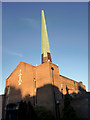
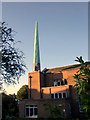
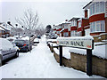
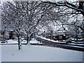
100 photos from this area
Area Information
Key information about the N14 4AH including its size, population, and administrative classification.
- Area Type
- Postcode
- Area Size
- 6534 m²
- Population
- 1783
- Population Density
- 5011 people/km²
House Prices in N14 4AH
14
Properties
£382,333
Average Sold Price
£157,000
Lowest Price
£640,000
Highest Price
Showing 14 properties
| Address | Type | Beds | Baths | Last Sale Price | Last Sale Date | |
|---|---|---|---|---|---|---|
| 58 Addison Avenue, Southgate, N14 4AH | Terraced | 3 | 1 | £640,000 | Sep 2023 | |
| 82 Addison Avenue, Southgate, N14 4AH | Terraced | 3 | 1 | £535,000 | Oct 2017 | |
| 62 Addison Avenue, Southgate, N14 4AH | Terraced | 3 | 1 | £425,000 | Jan 2015 | |
| 64 Addison Avenue, Southgate, N14 4AH | house | - | - | £270,000 | Sep 2006 | |
| 72 Addison Avenue, Southgate, N14 4AH | Terraced | - | - | £267,000 | Sep 2004 | |
| 60 Addison Avenue, Southgate, N14 4AH | Terraced | 3 | 1 | £157,000 | Apr 2001 | |
| 66 Addison Avenue, Southgate, N14 4AH | Terraced | 3 | 1 | - | - | |
| 70 Addison Avenue, Southgate, N14 4AH | Terraced | - | - | - | - | |
| 74 Addison Avenue, Southgate, N14 4AH | house | - | - | - | - | |
| 76 Addison Avenue, Southgate, N14 4AH | Terraced | - | - | - | - |
Page 1 of 2
Energy Efficiency in N14 4AH
Amenities
Schools
| Rank | School | Type | Entry gender | Ages |
|---|
Explore more schools in this area
Go to Schools tabDemographics
Household Size
Family (3-5 people)
most common
Accommodation Type
Houses
most common
Tenure
51
majority
Ethnic Group
White
most common
Religion
N/A
most common
Household Composition
N/A
most common
Age
47
median
Adults (30-64 years)
most common
Household Deprivation
N/A
with no deprivation
NS-SEC
30
in Lower managerial occupations
Explore more demographic insights in this area
Go to Demographics tabPlanning
Planning Constraints
- Flood RiskPremium
- Ramsar Wetland SitesPremium
- Area of Outstanding Natural BeautyPremium
- Protected Nature ReservePremium
- Protected WoodlandPremium