Area Overview for N13 6LH
Photos of N13 6LH
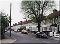
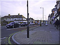
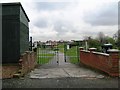
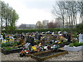
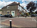
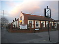
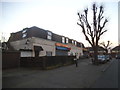
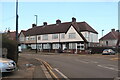
35 photos from this area
Area Information
Key information about the N13 6LH including its size, population, and administrative classification.
- Area Type
- Postcode
- Area Size
- 1.3 hectares
- Population
- 1633
- Population Density
- 6810 people/km²
House Prices in N13 6LH
46
Properties
£81,125
Average Sold Price
£46,000
Lowest Price
£150,000
Highest Price
Showing 46 properties
| Address | Type | Beds | Baths | Last Sale Price | Last Sale Date | |
|---|---|---|---|---|---|---|
| 25 Colet Close, Southgate, N13 6LH | Flat | 1 | 1 | £150,000 | Nov 2013 | |
| 28 Colet Close, Southgate, N13 6LH | Flat | - | - | £78,500 | Jul 2001 | |
| 26 Colet Close, Southgate, N13 6LH | Flat | - | - | £50,000 | Jun 1998 | |
| 27 Colet Close, Southgate, N13 6LH | Flat | - | - | £46,000 | Apr 1997 | |
| 23 Colet Close, Southgate, N13 6LH | Flat | 1 | 1 | - | - | |
| 29-40 Colet Close, Southgate, N13 6LH | Flat | - | - | - | - | |
| 1-12 Colet Close, Southgate, N13 6LH | Flat | - | - | - | - | |
| 17 Colet Close, Southgate, N13 6LH | Flat | - | - | - | - | |
| 15 Colet Close, Southgate, N13 6LH | Flat | - | - | - | - | |
| 22 Colet Close, Southgate, N13 6LH | Flat | - | - | - | - |
Page 1 of 5
Energy Efficiency in N13 6LH
Amenities
Schools
| Rank | School | Type | Entry gender | Ages |
|---|
Explore more schools in this area
Go to Schools tabDemographics
Household Size
Family (3-5 people)
most common
Accommodation Type
Flats
most common
Tenure
37
majority
Ethnic Group
White
most common
Religion
N/A
most common
Household Composition
N/A
most common
Age
47
median
Adults (30-64 years)
most common
Household Deprivation
N/A
with no deprivation
NS-SEC
21
in Lower managerial occupations
Explore more demographic insights in this area
Go to Demographics tabPlanning
Planning Constraints
- Flood RiskPremium
- Ramsar Wetland SitesPremium
- Area of Outstanding Natural BeautyPremium
- Protected Nature ReservePremium
- Protected WoodlandPremium