Area Overview for N13 5TD
Photos of N13 5TD
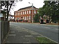

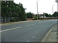
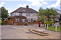
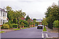
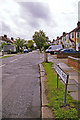
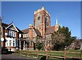
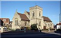
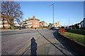
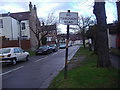
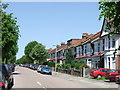
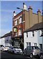
100 photos from this area
Area Information
Key information about the N13 5TD including its size, population, and administrative classification.
- Area Type
- Postcode
- Area Size
- 1.5 hectares
- Population
- 1911
- Population Density
- 8205 people/km²
House Prices in N13 5TD
39
Properties
£408,747
Average Sold Price
£116,000
Lowest Price
£680,000
Highest Price
Showing 39 properties
| Address | Type | Beds | Baths | Last Sale Price | Last Sale Date | |
|---|---|---|---|---|---|---|
| 34 Crawford Gardens, Southgate, N13 5TD | Semi-detached | 3 | 1 | £680,000 | May 2022 | |
| 60 Crawford Gardens, Southgate, N13 5TD | Flat | - | - | £410,000 | Jul 2020 | |
| 26 Crawford Gardens, Southgate, N13 5TD | Terraced | 4 | 2 | £650,000 | Apr 2020 | |
| 30 Crawford Gardens, Southgate, N13 5TD | Terraced | 4 | 2 | £630,000 | Jan 2020 | |
| 18 Crawford Gardens, Southgate, N13 5TD | Terraced | 3 | 1 | £550,000 | Apr 2018 | |
| 16 Crawford Gardens, Southgate, N13 5TD | Terraced | 3 | 1 | £565,000 | Jun 2017 | |
| 44 Crawford Gardens, Southgate, N13 5TD | Terraced | 4 | 2 | £560,000 | Aug 2015 | |
| 58 Crawford Gardens, Southgate, N13 5TD | Terraced | 3 | 1 | £510,000 | Jul 2015 | |
| 40 Crawford Gardens, Southgate, N13 5TD | Terraced | 3 | - | £408,000 | Aug 2013 | |
| 50 Crawford Gardens, Southgate, N13 5TD | house | 3 | - | £322,000 | Sep 2012 |
Page 1 of 4
Energy Efficiency in N13 5TD
Amenities
Schools
| Rank | School | Type | Entry gender | Ages |
|---|
Explore more schools in this area
Go to Schools tabDemographics
Household Size
Family (3-5 people)
most common
Accommodation Type
Houses
most common
Tenure
47
majority
Ethnic Group
White
most common
Religion
N/A
most common
Household Composition
N/A
most common
Age
47
median
Adults (30-64 years)
most common
Household Deprivation
N/A
with no deprivation
NS-SEC
27
in Lower managerial occupations
Explore more demographic insights in this area
Go to Demographics tabPlanning
Planning Constraints
- Flood RiskPremium
- Ramsar Wetland SitesPremium
- Area of Outstanding Natural BeautyPremium
- Protected Nature ReservePremium
- Protected WoodlandPremium