Area Overview for N13 5HQ
Photos of N13 5HQ
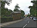
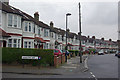
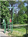
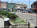

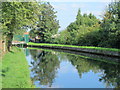
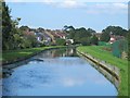
100 photos from this area
Area Information
Key information about the N13 5HQ including its size, population, and administrative classification.
- Area Type
- Postcode
- Area Size
- 4537 m²
- Population
- 1589
- Population Density
- 7075 people/km²
House Prices in N13 5HQ
15
Properties
£493,742
Average Sold Price
£294,000
Lowest Price
£702,000
Highest Price
Showing 15 properties
| Address | Type | Beds | Baths | Last Sale Price | Last Sale Date | |
|---|---|---|---|---|---|---|
| 105 Hazelwood Lane, Southgate, N13 5HQ | Terraced | 4 | 2 | £702,000 | Sep 2024 | |
| 85 Hazelwood Lane, Southgate, N13 5HQ | Terraced | 4 | - | £675,200 | Sep 2021 | |
| 79 Hazelwood Lane, Southgate, N13 5HQ | Terraced | 4 | 2 | £650,000 | Nov 2018 | |
| 99 Hazelwood Lane, Southgate, N13 5HQ | house | 4 | - | £350,000 | Oct 2009 | |
| 107 Hazelwood Lane, Southgate, N13 5HQ | Terraced | 4 | 2 | £409,995 | Feb 2007 | |
| 91 Hazelwood Lane, Southgate, N13 5HQ | Terraced | - | - | £294,000 | Mar 2006 | |
| 101 Hazelwood Lane, Southgate, N13 5HQ | house | - | - | £375,000 | Dec 2005 | |
| 103 Hazelwood Lane, Southgate, N13 5HQ | Terraced | - | - | - | - | |
| 83 Hazelwood Lane, Southgate, N13 5HQ | Terraced | 3 | 1 | - | - | |
| 97 Hazelwood Lane, Southgate, N13 5HQ | house | - | - | - | - |
Page 1 of 2
Energy Efficiency in N13 5HQ
Amenities
Schools
| Rank | School | Type | Entry gender | Ages |
|---|
Explore more schools in this area
Go to Schools tabDemographics
Household Size
Family (3-5 people)
most common
Accommodation Type
Houses
most common
Tenure
65
majority
Ethnic Group
White
most common
Religion
N/A
most common
Household Composition
N/A
most common
Age
47
median
Adults (30-64 years)
most common
Household Deprivation
N/A
with no deprivation
NS-SEC
33
in Lower managerial occupations
Explore more demographic insights in this area
Go to Demographics tabPlanning
Planning Constraints
- Flood RiskPremium
- Ramsar Wetland SitesPremium
- Area of Outstanding Natural BeautyPremium
- Protected Nature ReservePremium
- Protected WoodlandPremium