Area Overview for N13 5AG
Photos of N13 5AG
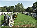
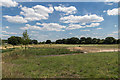

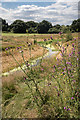
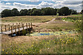

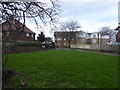
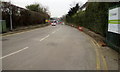
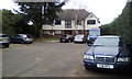
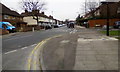
45 photos from this area
Area Information
Key information about the N13 5AG including its size, population, and administrative classification.
- Area Type
- Postcode
- Area Size
- 1.2 hectares
- Population
- 1911
- Population Density
- 8205 people/km²
House Prices in N13 5AG
24
Properties
£403,846
Average Sold Price
£215,000
Lowest Price
£625,000
Highest Price
Showing 24 properties
| Address | Type | Beds | Baths | Last Sale Price | Last Sale Date | |
|---|---|---|---|---|---|---|
| 70 Farndale Avenue, Southgate, N13 5AG | Semi-detached | 3 | 1 | £554,000 | Jul 2024 | |
| 54 Farndale Avenue, Southgate, N13 5AG | Semi-detached | 3 | 1 | £560,000 | Mar 2023 | |
| 74 Farndale Avenue, Southgate, N13 5AG | Semi-detached | 3 | 1 | £625,000 | Mar 2022 | |
| 72 Farndale Avenue, Southgate, N13 5AG | house | - | - | £520,000 | Dec 2021 | |
| 62 Farndale Avenue, Southgate, N13 5AG | Semi-detached | 4 | 2 | £580,000 | Dec 2020 | |
| 48 Farndale Avenue, Southgate, N13 5AG | Semi-detached | 1 | 1 | £490,000 | Aug 2016 | |
| 78 Farndale Avenue, Southgate, N13 5AG | house | - | - | £290,000 | Dec 2010 | |
| 46 Farndale Avenue, Southgate, N13 5AG | house | - | - | £310,000 | Jul 2010 | |
| 68 Farndale Avenue, Southgate, N13 5AG | house | 3 | - | £281,000 | May 2009 | |
| 56 Farndale Avenue, Southgate, N13 5AG | Detached | 3 | 2 | £310,000 | Jul 2008 |
Page 1 of 3
Energy Efficiency in N13 5AG
Amenities
Schools
| Rank | School | Type | Entry gender | Ages |
|---|
Explore more schools in this area
Go to Schools tabDemographics
Household Size
Family (3-5 people)
most common
Accommodation Type
Houses
most common
Tenure
47
majority
Ethnic Group
White
most common
Religion
N/A
most common
Household Composition
N/A
most common
Age
47
median
Adults (30-64 years)
most common
Household Deprivation
N/A
with no deprivation
NS-SEC
27
in Lower managerial occupations
Explore more demographic insights in this area
Go to Demographics tabPlanning
Planning Constraints
- Flood RiskPremium
- Ramsar Wetland SitesPremium
- Area of Outstanding Natural BeautyPremium
- Protected Nature ReservePremium
- Protected WoodlandPremium