Area Overview for N13 4DP
Photos of N13 4DP
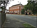
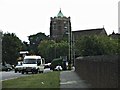
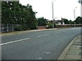
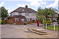
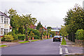
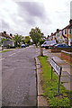
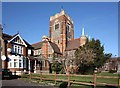
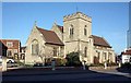
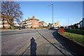
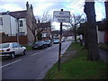
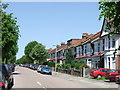
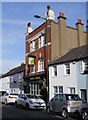
100 photos from this area
Area Information
Key information about the N13 4DP including its size, population, and administrative classification.
- Area Type
- Postcode
- Area Size
- 8435 m²
- Population
- 1733
- Population Density
- 8925 people/km²
House Prices in N13 4DP
54
Properties
£344,850
Average Sold Price
£30,000
Lowest Price
£745,000
Highest Price
Showing 54 properties
| Address | Type | Beds | Baths | Last Sale Price | Last Sale Date | |
|---|---|---|---|---|---|---|
| 42 Stonard Road, Southgate, N13 4DP | Flat | - | - | £422,000 | Dec 2022 | |
| 38 Stonard Road, Southgate, N13 4DP | Terraced | 4 | 2 | £745,000 | Sep 2020 | |
| 26 Stonard Road, Southgate, N13 4DP | Terraced | 3 | 1 | £685,000 | Mar 2016 | |
| 20 Stonard Road, Southgate, N13 4DP | Flat | - | - | £235,000 | Mar 2013 | |
| 36C Stonard Road, Southgate, N13 4DP | Flat | - | - | £156,500 | Oct 2011 | |
| 6 Stonard Road, Southgate, N13 4DP | Flat | 1 | 1 | £465,000 | Sep 2004 | |
| 30 Stonard Road, Southgate, N13 4DP | Terraced | - | - | £390,000 | Jul 2002 | |
| 40 Stonard Road, Southgate, N13 4DP | Flat | 2 | - | £100,000 | Jan 2002 | |
| 18 Stonard Road, Southgate, N13 4DP | Terraced | - | - | £220,000 | Jun 2001 | |
| 12 Stonard Road, Southgate, N13 4DP | Terraced | 3 | 3 | £30,000 | Nov 1995 |
Page 1 of 6
Energy Efficiency in N13 4DP
Amenities
Schools
| Rank | School | Type | Entry gender | Ages |
|---|
Explore more schools in this area
Go to Schools tabDemographics
Household Size
Family (3-5 people)
most common
Accommodation Type
Flats
most common
Tenure
57
majority
Ethnic Group
White
most common
Religion
N/A
most common
Household Composition
N/A
most common
Age
47
median
Adults (30-64 years)
most common
Household Deprivation
N/A
with no deprivation
NS-SEC
42
in Lower managerial occupations
Explore more demographic insights in this area
Go to Demographics tabPlanning
Planning Constraints
- Flood RiskPremium
- Ramsar Wetland SitesPremium
- Area of Outstanding Natural BeautyPremium
- Protected Nature ReservePremium
- Protected WoodlandPremium