Area Overview for N12 9UB
Photos of N12 9UB
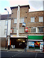
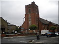
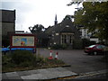


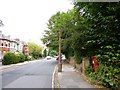

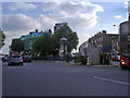
100 photos from this area
Area Information
Key information about the N12 9UB including its size, population, and administrative classification.
- Area Type
- Postcode
- Area Size
- 8817 m²
- Population
- 1859
- Population Density
- 9086 people/km²
House Prices in N12 9UB
47
Properties
£236,504
Average Sold Price
£100
Lowest Price
£515,000
Highest Price
Showing 47 properties
| Address | Type | Beds | Baths | Last Sale Price | Last Sale Date | |
|---|---|---|---|---|---|---|
| 46 Glenhurst Road, North Finchley, London, N12 9UB | Maisonette | 2 | 1 | £400,000 | Dec 2023 | |
| 45 Glenhurst Road, North Finchley, London, N12 9UB | Flat | 2 | 1 | £470,000 | Sep 2022 | |
| 54 Glenhurst Road, North Finchley, London, N12 9UB | Maisonette | 2 | 1 | £485,000 | Jul 2022 | |
| 47 Glenhurst Road, North Finchley, London, N12 9UB | Maisonette | 3 | 2 | £425,000 | Jun 2022 | |
| 33 Glenhurst Road, North Finchley, London, N12 9UB | Maisonette | - | - | £515,000 | Mar 2022 | |
| 56 Glenhurst Road, North Finchley, London, N12 9UB | house | - | - | £475,000 | Oct 2021 | |
| 60 Glenhurst Road, North Finchley, London, N12 9UB | Flat | - | - | £403,500 | Feb 2021 | |
| 11 Glenhurst Road, North Finchley, London, N12 9UB | Maisonette | 2 | 1 | £450,000 | Nov 2020 | |
| 58 Glenhurst Road, North Finchley, London, N12 9UB | Maisonette | 2 | 1 | £6,000 | Apr 2020 | |
| 62 Glenhurst Road, North Finchley, London, N12 9UB | Flat | - | - | £17,000 | Apr 2020 |
Page 1 of 5
Energy Efficiency in N12 9UB
Amenities
Schools
| Rank | School | Type | Entry gender | Ages |
|---|
Explore more schools in this area
Go to Schools tabDemographics
Household Size
Family (3-5 people)
most common
Accommodation Type
Flats
most common
Tenure
46
majority
Ethnic Group
White
most common
Religion
N/A
most common
Household Composition
N/A
most common
Age
47
median
Adults (30-64 years)
most common
Household Deprivation
N/A
with no deprivation
NS-SEC
39
in Lower managerial occupations
Explore more demographic insights in this area
Go to Demographics tabPlanning
Planning Constraints
- Flood RiskPremium
- Ramsar Wetland SitesPremium
- Area of Outstanding Natural BeautyPremium
- Protected Nature ReservePremium
- Protected WoodlandPremium