Area Overview for N12 7HG
Photos of N12 7HG
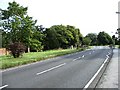

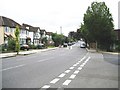
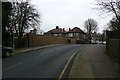
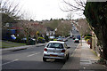
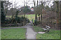
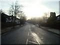

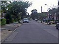

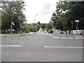
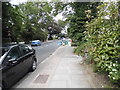
64 photos from this area
Area Information
Key information about the N12 7HG including its size, population, and administrative classification.
- Area Type
- Postcode
- Area Size
- 1.3 hectares
- Population
- 1371
- Population Density
- 4148 people/km²
House Prices in N12 7HG
16
Properties
£852,661
Average Sold Price
£254,000
Lowest Price
£1,450,000
Highest Price
Showing 16 properties
| Address | Type | Beds | Baths | Last Sale Price | Last Sale Date | |
|---|---|---|---|---|---|---|
| 75 Southover, North Finchley, London, N12 7HG | Semi-detached | 4 | 3 | £1,325,000 | Feb 2025 | |
| 93 Southover, North Finchley, London, N12 7HG | Detached | 5 | 3 | £1,450,000 | Nov 2022 | |
| 69 Southover, North Finchley, London, N12 7HG | Detached | 4 | 1 | £899,950 | May 2013 | |
| 67 Southover, North Finchley, London, N12 7HG | Detached | 4 | 2 | £1,100,000 | Apr 2013 | |
| 73 Southover, North Finchley, London, N12 7HG | Detached | 6 | 4 | £735,000 | May 2008 | |
| 95 Southover, North Finchley, London, N12 7HG | Detached | - | - | £440,000 | Sep 2007 | |
| 89 Southover, North Finchley, London, N12 7HG | Semi-detached | - | - | £870,000 | Apr 2007 | |
| 85 Southover, North Finchley, London, N12 7HG | Semi-detached | - | - | £600,000 | Sep 2003 | |
| 81 Southover, North Finchley, London, N12 7HG | Semi-detached | - | - | £254,000 | Aug 1997 | |
| 71 Southover, North Finchley, London, N12 7HG | Detached | 4 | 1 | - | - |
Page 1 of 2
Energy Efficiency in N12 7HG
Amenities
Schools
| Rank | School | Type | Entry gender | Ages |
|---|
Explore more schools in this area
Go to Schools tabDemographics
Household Size
Family (3-5 people)
most common
Accommodation Type
Houses
most common
Tenure
89
majority
Ethnic Group
White
most common
Religion
N/A
most common
Household Composition
N/A
most common
Age
47
median
Adults (30-64 years)
most common
Household Deprivation
N/A
with no deprivation
NS-SEC
54
in Lower managerial occupations
Explore more demographic insights in this area
Go to Demographics tabPlanning
Planning Constraints
- Flood RiskPremium
- Ramsar Wetland SitesPremium
- Area of Outstanding Natural BeautyPremium
- Protected Nature ReservePremium
- Protected WoodlandPremium