Area Overview for N12 7EA
Photos of N12 7EA
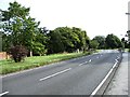

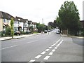
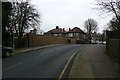


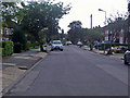

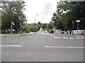
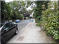
64 photos from this area
Area Information
Key information about the N12 7EA including its size, population, and administrative classification.
- Area Type
- Postcode
- Area Size
- 1.2 hectares
- Population
- 1806
- Population Density
- 6544 people/km²
House Prices in N12 7EA
49
Properties
£398,875
Average Sold Price
£218,000
Lowest Price
£675,000
Highest Price
Showing 49 properties
| Address | Type | Beds | Baths | Last Sale Price | Last Sale Date | |
|---|---|---|---|---|---|---|
| 108 Holden Road, Woodside Lane To Westbury Road, London, N12 7EA | Terraced | 5 | 5 | £350,000 | Mar 2016 | |
| 122 Holden Road, Woodside Lane To Westbury Road, London, N12 7EA | Unknown | - | - | £675,000 | Jan 2004 | |
| 130 Holden Road, London, N12 7EA | Detached | 8 | 4 | £352,500 | Oct 1999 | |
| 126 Holden Road, Woodside Lane To Westbury Road, London, N12 7EA | Detached | - | - | £218,000 | May 1997 | |
| 112 Holden Road, Woodside Lane To Westbury Road, London, N12 7EA | Flat | 2 | 1 | - | - | |
| 120A Holden Road, Woodside Lane To Westbury Road, London, N12 7EA | Retail | 3 | 1 | - | - | |
| 128 Holden Road, Woodside Lane To Westbury Road, London, N12 7EA | Detached | 6 | 1 | - | - | |
| 118A Holden Road, Woodside Lane To Westbury Road, London, N12 7EA | Flat | 2 | 1 | - | - | |
| Flat 2, 124 Holden Road, Woodside Lane To Westbury Road, London, N12 7EA | Flat | - | - | - | - | |
| 124B Holden Road, Woodside Lane To Westbury Road, London, N12 7EA | undefined | - | - | - | - |
Page 1 of 5
Energy Efficiency in N12 7EA
Amenities
Schools
| Rank | School | Type | Entry gender | Ages |
|---|
Explore more schools in this area
Go to Schools tabDemographics
Household Size
One person
most common
Accommodation Type
Flats
most common
Tenure
45
majority
Ethnic Group
White
most common
Religion
N/A
most common
Household Composition
N/A
most common
Age
47
median
Adults (30-64 years)
most common
Household Deprivation
N/A
with no deprivation
NS-SEC
38
in Lower managerial occupations
Explore more demographic insights in this area
Go to Demographics tabPlanning
Planning Constraints
- Flood RiskPremium
- Ramsar Wetland SitesPremium
- Area of Outstanding Natural BeautyPremium
- Protected Nature ReservePremium
- Protected WoodlandPremium