Area Overview for N11 1NN
Photos of N11 1NN
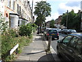

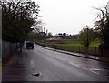
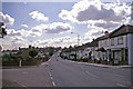
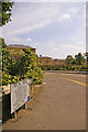
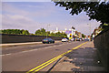
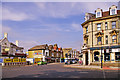
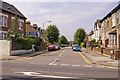


86 photos from this area
Area Information
Key information about the N11 1NN including its size, population, and administrative classification.
- Area Type
- Postcode
- Area Size
- 6213 m²
- Population
- 1791
- Population Density
- 10751 people/km²
House Prices in N11 1NN
39
Properties
£280,636
Average Sold Price
£82,000
Lowest Price
£375,000
Highest Price
Showing 39 properties
| Address | Type | Beds | Baths | Last Sale Price | Last Sale Date | |
|---|---|---|---|---|---|---|
| 422 Bowes Road, Southgate, N11 1NN | Flat | 3 | 1 | £375,000 | Mar 2025 | |
| 430 Bowes Road, Southgate, N11 1NN | Flat | 3 | 1 | £345,000 | Nov 2021 | |
| 450 Bowes Road, Southgate, N11 1NN | Flat | - | - | £360,000 | May 2021 | |
| 446 Bowes Road, Southgate, N11 1NN | Flat | 1 | - | £320,000 | Jun 2017 | |
| 418 Bowes Road, Southgate, N11 1NN | Flat | - | - | £334,000 | Feb 2017 | |
| 452 Bowes Road, Southgate, N11 1NN | Flat | - | - | £335,000 | Mar 2016 | |
| 448 Bowes Road, Southgate, N11 1NN | Flat | - | - | £325,000 | Nov 2015 | |
| 428 Bowes Road, Southgate, N11 1NN | Flat | - | - | £227,000 | Sep 2013 | |
| 442 Bowes Road, Southgate, N11 1NN | Flat | - | - | £202,000 | Feb 2008 | |
| 438 Bowes Road, Southgate, N11 1NN | Flat | 3 | 1 | £182,000 | Jun 2007 |
Page 1 of 4
Energy Efficiency in N11 1NN
Amenities
Schools
| Rank | School | Type | Entry gender | Ages |
|---|
Explore more schools in this area
Go to Schools tabDemographics
Household Size
Family (3-5 people)
most common
Accommodation Type
Flats
most common
Tenure
28
majority
Ethnic Group
White
most common
Religion
N/A
most common
Household Composition
N/A
most common
Age
47
median
Adults (30-64 years)
most common
Household Deprivation
N/A
with no deprivation
NS-SEC
25
in Lower managerial occupations
Explore more demographic insights in this area
Go to Demographics tabPlanning
Planning Constraints
- Flood RiskPremium
- Ramsar Wetland SitesPremium
- Area of Outstanding Natural BeautyPremium
- Protected Nature ReservePremium
- Protected WoodlandPremium