Area Overview for N11 1EU
Photos of N11 1EU
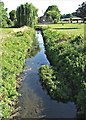
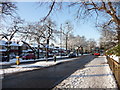
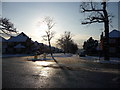
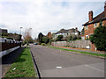
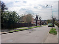
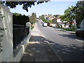
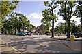
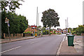
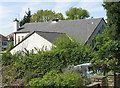
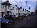
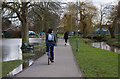
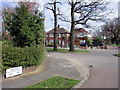
100 photos from this area
Area Information
Key information about the N11 1EU including its size, population, and administrative classification.
- Area Type
- Postcode
- Area Size
- 8679 m²
- Population
- 2049
- Population Density
- 7187 people/km²
House Prices in N11 1EU
20
Properties
£377,558
Average Sold Price
£86,995
Lowest Price
£680,000
Highest Price
Showing 20 properties
| Address | Type | Beds | Baths | Last Sale Price | Last Sale Date | |
|---|---|---|---|---|---|---|
| 259 Brunswick Park Road, New Southgate, London, N11 1EU | Detached | 3 | 1 | £680,000 | Jul 2025 | |
| 247 Brunswick Park Road, New Southgate, London, N11 1EU | house | 3 | - | £585,000 | Jun 2021 | |
| 257 Brunswick Park Road, New Southgate, London, N11 1EU | house | 3 | - | £622,200 | Jun 2021 | |
| 243 Brunswick Park Road, New Southgate, London, N11 1EU | Semi-detached | 4 | 1 | £600,000 | Apr 2019 | |
| 233 Brunswick Park Road, New Southgate, London, N11 1EU | house | 4 | - | £500,000 | Jul 2012 | |
| 241 Brunswick Park Road, New Southgate, London, N11 1EU | house | - | - | £370,000 | Dec 2007 | |
| 235 Brunswick Park Road, New Southgate, London, N11 1EU | Semi-detached | - | - | £331,000 | Dec 2004 | |
| 261 Brunswick Park Road, New Southgate, London, N11 1EU | Semi-detached | - | - | £307,000 | May 2004 | |
| 251 Brunswick Park Road, New Southgate, London, N11 1EU | Semi-detached | - | - | £214,000 | Feb 2002 | |
| 237 Brunswick Park Road, New Southgate, London, N11 1EU | Semi-detached | - | - | £124,500 | Jul 1999 |
Page 1 of 2
Energy Efficiency in N11 1EU
Amenities
Schools
| Rank | School | Type | Entry gender | Ages |
|---|
Explore more schools in this area
Go to Schools tabDemographics
Household Size
Family (3-5 people)
most common
Accommodation Type
Houses
most common
Tenure
81
majority
Ethnic Group
White
most common
Religion
N/A
most common
Household Composition
N/A
most common
Age
47
median
Adults (30-64 years)
most common
Household Deprivation
N/A
with no deprivation
NS-SEC
39
in Lower managerial occupations
Explore more demographic insights in this area
Go to Demographics tabPlanning
Planning Constraints
- Flood RiskPremium
- Ramsar Wetland SitesPremium
- Area of Outstanding Natural BeautyPremium
- Protected Nature ReservePremium
- Protected WoodlandPremium