Area Overview for N10 3BP
Photos of N10 3BP
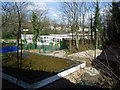
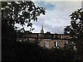
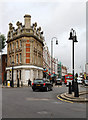
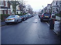
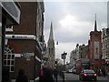
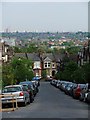
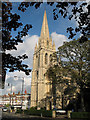
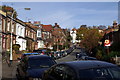
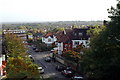
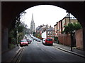
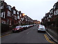
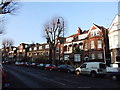
100 photos from this area
Area Information
Key information about the N10 3BP including its size, population, and administrative classification.
- Area Type
- Postcode
- Area Size
- 1.0 hectares
- Population
- 1669
- Population Density
- 6063 people/km²
House Prices in N10 3BP
16
Properties
£1,742,727
Average Sold Price
£250,000
Lowest Price
£3,950,000
Highest Price
Showing 16 properties
| Address | Type | Beds | Baths | Last Sale Price | Last Sale Date | |
|---|---|---|---|---|---|---|
| 32 Grand Avenue, Hornsey, London, N10 3BP | Semi-detached | 4 | 3 | £1,950,000 | Apr 2024 | |
| 62 Grand Avenue, Hornsey, London, N10 3BP | Retail | 5 | 4 | £3,950,000 | Jul 2022 | |
| 60 Grand Avenue, Hornsey, London, N10 3BP | Terraced | 5 | - | £2,850,000 | Nov 2021 | |
| 40 Grand Avenue, Hornsey, London, N10 3BP | Terraced | - | - | £800,000 | Jun 2021 | |
| 42 Grand Avenue, Hornsey, London, N10 3BP | Terraced | 6 | - | £2,650,000 | Sep 2020 | |
| 34 Grand Avenue, Hornsey, London, N10 3BP | Terraced | 4 | 3 | £1,950,000 | Apr 2019 | |
| 50 Grand Avenue, Hornsey, London, N10 3BP | Terraced | - | - | £1,820,000 | Apr 2007 | |
| 52 Grand Avenue, Hornsey, London, N10 3BP | Terraced | - | - | £1,060,000 | May 2006 | |
| 54 Grand Avenue, Hornsey, London, N10 3BP | Terraced | - | - | £890,000 | May 2002 | |
| 48 Grand Avenue, Hornsey, London, N10 3BP | house | - | - | £250,000 | Sep 2001 |
Page 1 of 2
Energy Efficiency in N10 3BP
Amenities
Schools
| Rank | School | Type | Entry gender | Ages |
|---|
Explore more schools in this area
Go to Schools tabDemographics
Household Size
Family (3-5 people)
most common
Accommodation Type
Houses
most common
Tenure
79
majority
Ethnic Group
White
most common
Religion
N/A
most common
Household Composition
N/A
most common
Age
47
median
Adults (30-64 years)
most common
Household Deprivation
N/A
with no deprivation
NS-SEC
64
in Lower managerial occupations
Explore more demographic insights in this area
Go to Demographics tabPlanning
Planning Constraints
- Flood RiskPremium
- Ramsar Wetland SitesPremium
- Area of Outstanding Natural BeautyPremium
- Protected Nature ReservePremium
- Protected WoodlandPremium