Area Overview for N1 9SW
Photos of N1 9SW
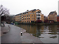
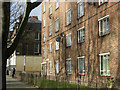
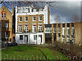
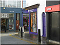
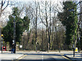
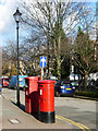
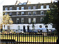
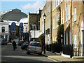
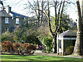
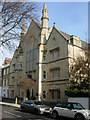
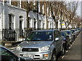
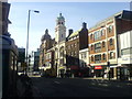
100 photos from this area
Area Information
Key information about the N1 9SW including its size, population, and administrative classification.
- Area Type
- Postcode
- Area Size
- 2162 m²
- Population
- 1476
- Population Density
- 12441 people/km²
House Prices in N1 9SW
35
Properties
£329,580
Average Sold Price
£23,560
Lowest Price
£626,000
Highest Price
Showing 35 properties
| Address | Type | Beds | Baths | Last Sale Price | Last Sale Date | |
|---|---|---|---|---|---|---|
| 100 Wynford Road, London, N1 9SW | Flat | 1 | 1 | £422,500 | Dec 2023 | |
| 124 Wynford Road, London, N1 9SW | Flat | - | - | £410,000 | Jul 2023 | |
| 116 Wynford Road, London, N1 9SW | Flat | - | - | £460,000 | May 2014 | |
| 160 Wynford Road, London, N1 9SW | Maisonette | 3 | - | £626,000 | Sep 2013 | |
| 144 Wynford Road, London, N1 9SW | Flat | - | - | £235,000 | Oct 2009 | |
| 162 Wynford Road, London, N1 9SW | Flat | - | - | £23,560 | Jun 2002 | |
| 136-138 Wynford Road, London, N1 9SW | Flat | - | - | £130,000 | May 2002 | |
| 150 Wynford Road, London, N1 9SW | Flat | - | - | - | - | |
| 148 Wynford Road, London, N1 9SW | Flat | - | - | - | - | |
| 94 Wynford Road, London, N1 9SW | Flat | - | - | - | - |
Page 1 of 4
Energy Efficiency in N1 9SW
Amenities
Schools
| Rank | School | Type | Entry gender | Ages |
|---|
Explore more schools in this area
Go to Schools tabDemographics
Household Size
One person
most common
Accommodation Type
Flats
most common
Tenure
19
majority
Ethnic Group
White
most common
Religion
N/A
most common
Household Composition
N/A
most common
Age
47
median
Adults (30-64 years)
most common
Household Deprivation
N/A
with no deprivation
NS-SEC
50
in Lower managerial occupations
Explore more demographic insights in this area
Go to Demographics tabPlanning
Planning Constraints
- Flood RiskPremium
- Ramsar Wetland SitesPremium
- Area of Outstanding Natural BeautyPremium
- Protected Nature ReservePremium
- Protected WoodlandPremium