Area Overview for N1 3DB
Photos of N1 3DB
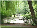
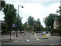
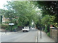
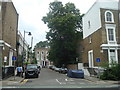
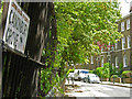
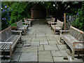
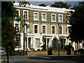

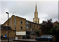
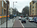
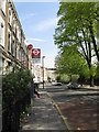
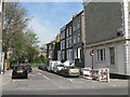
100 photos from this area
Area Information
Key information about the N1 3DB including its size, population, and administrative classification.
- Area Type
- Postcode
- Area Size
- 3264 m²
- Population
- 1444
- Population Density
- 17048 people/km²
House Prices in N1 3DB
37
Properties
£624,301
Average Sold Price
£179,500
Lowest Price
£1,322,320
Highest Price
Showing 37 properties
| Address | Type | Beds | Baths | Last Sale Price | Last Sale Date | |
|---|---|---|---|---|---|---|
| 29 Clare Lane, London, N1 3DB | Terraced | 3 | 2 | £1,322,320 | May 2025 | |
| 38 Clare Lane, London, N1 3DB | Flat | 1 | 1 | £550,000 | Mar 2025 | |
| 13 Clare Lane, London, N1 3DB | house | 3 | 2 | £892,500 | Sep 2024 | |
| 6 Clare Lane, London, N1 3DB | Flat | 1 | 1 | £575,000 | Aug 2024 | |
| 28 Clare Lane, London, N1 3DB | Terraced | 3 | 2 | £1,210,000 | Oct 2022 | |
| 7 Clare Lane, London, N1 3DB | Flat | 1 | 1 | £447,500 | Jun 2021 | |
| 19 Clare Lane, London, N1 3DB | Flat | - | - | £725,000 | Jun 2021 | |
| 15 Clare Lane, London, N1 3DB | Flat | 3 | 2 | £216,000 | Dec 2019 | |
| 4 Clare Lane, London, N1 3DB | Flat | - | - | £868,000 | Jun 2017 | |
| 26 Clare Lane, London, N1 3DB | Terraced | 3 | 3 | £1,217,500 | Jun 2017 |
Page 1 of 4
Energy Efficiency in N1 3DB
Amenities
Schools
| Rank | School | Type | Entry gender | Ages |
|---|
Explore more schools in this area
Go to Schools tabDemographics
Household Size
One person
most common
Accommodation Type
Flats
most common
Tenure
19
majority
Ethnic Group
White
most common
Religion
N/A
most common
Household Composition
N/A
most common
Age
47
median
Adults (30-64 years)
most common
Household Deprivation
N/A
with no deprivation
NS-SEC
46
in Lower managerial occupations
Explore more demographic insights in this area
Go to Demographics tabPlanning
Planning Constraints
- Flood RiskPremium
- Ramsar Wetland SitesPremium
- Area of Outstanding Natural BeautyPremium
- Protected Nature ReservePremium
- Protected WoodlandPremium