Area Overview for Lewisham
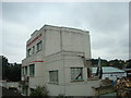
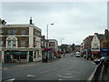
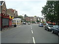
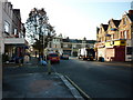
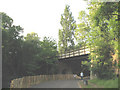
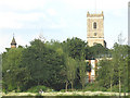
Photos of Lewisham


Area Information
Living in Lewisham means experiencing a dense, built-up London borough where 186,876 residents occupy 32.6 square kilometres. This high population density of 5,737 people per square kilometre creates a compact urban environment, distinct from the sprawling suburban layouts found in other parts of England. You will find yourself immersed in a territory defined by close proximity to amenities and transport links rather than open green space or quiet country lanes. The area functions as a major residential hub with a population that reflects the diverse character typical of South London. Daily life here is defined by accessibility; you can reach significant retail and transport nodes within practical reach without needing extensive driving. The sheer number of inhabitants packed into this area ensures that local services operate at full capacity. Whether you are commuting to work or visiting local shops, the infrastructure is designed to support a large, active community. You are buying into a location where urban intensity meets established convenience, making it a viable option for those who prioritise connectivity over spaciousness. The physical scale of the borough means there is very little room for expansion, so growth is managed within these fixed geographical boundaries.
- Area Type
- District/Borough
- Area Size
- 32.6 km²
- Population
- 186876
- Population Density
- 5737 people/km²
Demographics
The community profile in Lewisham reveals a population largely comprising older adults, with a median age of 70 years. This figure stands in stark contrast to the younger demographics often associated with London university districts. While the majority of the population falls into the broad 'Total' age category, the statistical median confirms that the area attracts or retains a significant cohort of older residents. Home ownership rates stand at 44 per cent, indicating that a little under half of the households own their property outright or with a mortgage, while the remaining majority reside in rented accommodations. This split suggests a balanced market where both investors and owner-occupiers operate side by side. Household composition data confirms the total count of residents, providing a baseline for understanding local demand for services and housing. The area accommodates a wide range of accommodation types, catering to the specific needs of its seventy-year-old median demographic. You should expect a neighbourhood where quiet streets and residential stability prevail, differing markedly from high-energy youth districts. The 44 per cent ownership figure is a critical metric for investors assessing return potential or those considering retirement homes.
Household Size
Accommodation Type
Tenure
Ethnic Group
Religion
Household Composition
Age
Household Deprivation
NS-SEC
Explore more demographic insights in this area
Go to Demographics tabPlanning
Planning Constraints
- Crime RiskPremium