Area Overview for KT9 2BL
Photos of KT9 2BL
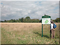
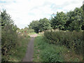
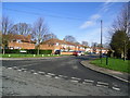
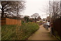
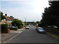
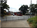
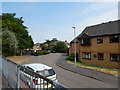
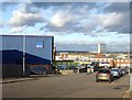
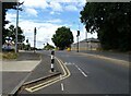
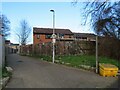
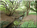
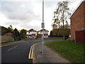
19 photos from this area
Area Information
Key information about the KT9 2BL including its size, population, and administrative classification.
- Area Type
- Postcode
- Area Size
- 8147 m²
- Population
- 1573
- Population Density
- 6348 people/km²
House Prices in KT9 2BL
25
Properties
£340,227
Average Sold Price
£83,000
Lowest Price
£581,500
Highest Price
Showing 25 properties
| Address | Type | Beds | Baths | Last Sale Price | Last Sale Date | |
|---|---|---|---|---|---|---|
| 64A Chessington Hill Park, Chessington, KT9 2BL | Terraced | 3 | 1 | £530,000 | Aug 2024 | |
| 72 Chessington Hill Park, Chessington, KT9 2BL | Semi-detached | 5 | 1 | £581,500 | Jan 2023 | |
| 66 Chessington Hill Park, Chessington, KT9 2BL | house | - | - | £490,000 | Aug 2022 | |
| 102 Chessington Hill Park, Chessington, KT9 2BL | Terraced | 3 | - | £487,500 | Apr 2021 | |
| 84 Chessington Hill Park, Chessington, KT9 2BL | house | - | - | £380,000 | Apr 2020 | |
| 76 Chessington Hill Park, Chessington, KT9 2BL | Terraced | 3 | 1 | £385,000 | Mar 2019 | |
| 74 Chessington Hill Park, Chessington, KT9 2BL | Terraced | 3 | - | £382,000 | Jan 2016 | |
| 92 Chessington Hill Park, Chessington, KT9 2BL | Terraced | 3 | - | £425,000 | Dec 2014 | |
| 82 Chessington Hill Park, Chessington, KT9 2BL | house | 4 | - | £249,950 | Jul 2011 | |
| 64 Chessington Hill Park, Chessington, KT9 2BL | Terraced | 4 | 2 | £228,000 | Aug 2005 |
Page 1 of 3
Energy Efficiency in KT9 2BL
Amenities
Schools
| Rank | School | Type | Entry gender | Ages |
|---|
Explore more schools in this area
Go to Schools tabDemographics
Household Size
Family (3-5 people)
most common
Accommodation Type
Houses
most common
Tenure
79
majority
Ethnic Group
White
most common
Religion
N/A
most common
Household Composition
N/A
most common
Age
47
median
Adults (30-64 years)
most common
Household Deprivation
N/A
with no deprivation
NS-SEC
38
in Lower managerial occupations
Explore more demographic insights in this area
Go to Demographics tabPlanning
Planning Constraints
- Flood RiskPremium
- Ramsar Wetland SitesPremium
- Area of Outstanding Natural BeautyPremium
- Protected Nature ReservePremium
- Protected WoodlandPremium