Area Overview for KT8 9AX
Photos of KT8 9AX
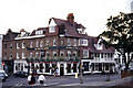
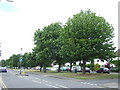
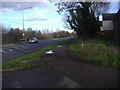
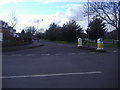
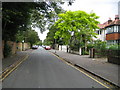
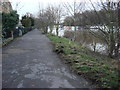
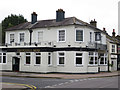
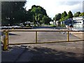
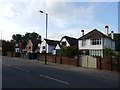
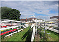
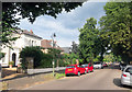
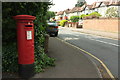
72 photos from this area
Area Information
Key information about the KT8 9AX including its size, population, and administrative classification.
- Area Type
- Postcode
- Area Size
- 2.5 hectares
- Population
- 1702
- Population Density
- 397 people/km²
House Prices in KT8 9AX
34
Properties
£200,000
Average Sold Price
£200,000
Lowest Price
£200,000
Highest Price
Showing 34 properties
| Address | Type | Beds | Baths | Last Sale Price | Last Sale Date | |
|---|---|---|---|---|---|---|
| The Bungalow, Ash Island, East Molesey, KT8 9AX | Detached | - | - | £200,000 | Oct 2002 | |
| Long Boathouse, Ash Island, Hampton Court Road, Hampton, KT8 9AX | Bungalow | 3 | 2 | - | - | |
| Onward, Ash Island, East Molesey, KT8 9AX | Houseboat | 2 | - | - | - | |
| Not For Sail, Ash Island, Hampton Court Road, Hampton, KT8 9AX | Houseboat | - | - | - | - | |
| Hb Manoah, Ash Island, East Molesey, KT8 9AX | Houseboat | - | - | - | - | |
| Eco Boat, Ash Island, Hampton Court Road, Hampton, KT8 9AX | Houseboat | - | - | - | - | |
| Vida, Ash Island, East Molesey, KT8 9AX | Houseboat | 2 | - | - | - | |
| Marge The Barge, Ash Island, East Molesey, KT8 9AX | Houseboat | - | - | - | - | |
| Professor Calculus Ash Island, Hampton Court Road, Hampton, KT8 9AX | Houseboat | 1 | - | - | - | |
| Korah Linssen, Ash Island, East Molesey, KT8 9AX | Houseboat | - | - | - | - |
Page 1 of 4
Energy Efficiency in KT8 9AX
Amenities
Schools
| Rank | School | Type | Entry gender | Ages |
|---|
Explore more schools in this area
Go to Schools tabDemographics
Household Size
Two person
most common
Accommodation Type
Houses
most common
Tenure
72
majority
Ethnic Group
White
most common
Religion
N/A
most common
Household Composition
N/A
most common
Age
47
median
Adults (30-64 years)
most common
Household Deprivation
N/A
with no deprivation
NS-SEC
57
in Lower managerial occupations
Explore more demographic insights in this area
Go to Demographics tabPlanning
Planning Constraints
- Flood RiskPremium
- Ramsar Wetland SitesPremium
- Area of Outstanding Natural BeautyPremium
- Protected Nature ReservePremium
- Protected WoodlandPremium