Area Overview for KT6 7SZ
Photos of KT6 7SZ
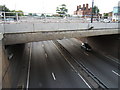
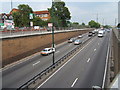
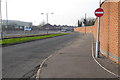
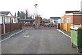
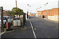
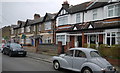
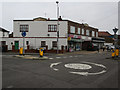
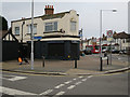


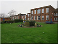
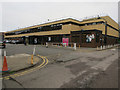
53 photos from this area
Area Information
Key information about the KT6 7SZ including its size, population, and administrative classification.
- Area Type
- Postcode
- Area Size
- 1.3 hectares
- Population
- 1644
- Population Density
- 5266 people/km²
House Prices in KT6 7SZ
45
Properties
£338,881
Average Sold Price
£90,250
Lowest Price
£809,950
Highest Price
Showing 45 properties
| Address | Type | Beds | Baths | Last Sale Price | Last Sale Date | |
|---|---|---|---|---|---|---|
| 92 Tolworth Road, Tolworth, KT6 7SZ | Terraced | 2 | 2 | £620,000 | Mar 2025 | |
| 46 Tolworth Road, Tolworth, KT6 7SZ | Terraced | 3 | 1 | £625,000 | Jul 2023 | |
| 96 Tolworth Road, Tolworth, KT6 7SZ | Terraced | 3 | 1 | £457,500 | May 2023 | |
| 74 Tolworth Road, Tolworth, KT6 7SZ | Detached | 3 | 2 | £809,950 | Dec 2021 | |
| 28 Tolworth Road, Tolworth, KT6 7SZ | Terraced | 3 | 1 | £540,000 | Aug 2021 | |
| 100 Tolworth Road, Tolworth, KT6 7SZ | house | - | - | £560,000 | Feb 2021 | |
| 48 Tolworth Road, Tolworth, KT6 7SZ | Terraced | 4 | 2 | £505,000 | Feb 2020 | |
| 44 Tolworth Road, Tolworth, KT6 7SZ | Terraced | 4 | - | £492,500 | Sep 2016 | |
| 24 Tolworth Road, Tolworth, KT6 7SZ | Terraced | 3 | 1 | £450,000 | Mar 2016 | |
| 72 Tolworth Road, Tolworth, KT6 7SZ | house | - | - | £452,000 | Jan 2016 |
Page 1 of 5
Energy Efficiency in KT6 7SZ
Amenities
Schools
| Rank | School | Type | Entry gender | Ages |
|---|
Explore more schools in this area
Go to Schools tabDemographics
Household Size
Family (3-5 people)
most common
Accommodation Type
Houses
most common
Tenure
73
majority
Ethnic Group
White
most common
Religion
N/A
most common
Household Composition
N/A
most common
Age
47
median
Adults (30-64 years)
most common
Household Deprivation
N/A
with no deprivation
NS-SEC
38
in Lower managerial occupations
Explore more demographic insights in this area
Go to Demographics tabPlanning
Planning Constraints
- Flood RiskPremium
- Ramsar Wetland SitesPremium
- Area of Outstanding Natural BeautyPremium
- Protected Nature ReservePremium
- Protected WoodlandPremium